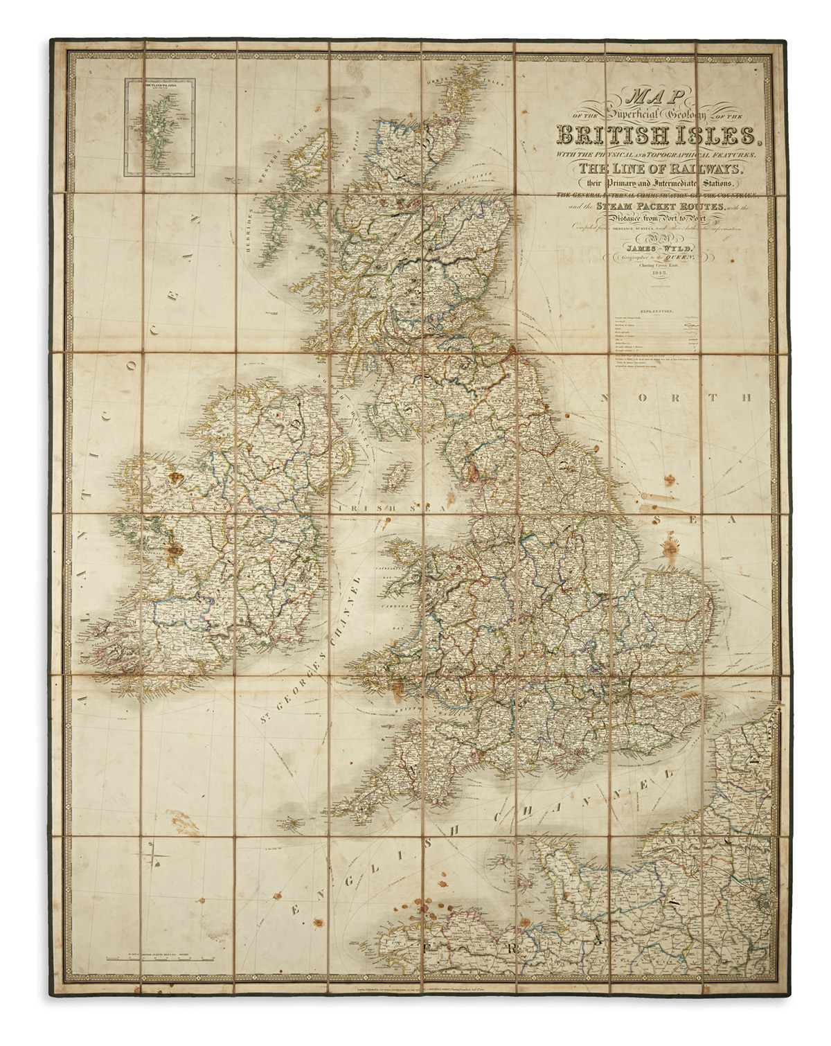
WYLD, JAMES. Map of the Imperial Geology of the British Isles,with the Physical and Topographical Features, the Line of Railways, their Primary and Intermediate Stations, the General Internal Communication of the Countries, and the Steam Packet Routes, with the Distance from Port to Port. Large hand-colored engraved case map of the British Isles. 51x39 inches overall, dissected into 48 segments and mounted to original linen with green silk selvage, folding into marbled paper self-wrappers; moderate staining. London: James Wyld, 1843