?Final Price Realized includes Buyer’s Premium added to Hammer Price
Estimate: $ 4,000 - $ 6,000
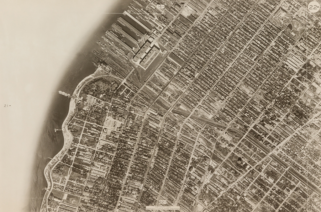
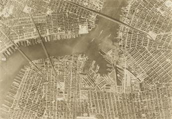
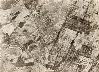
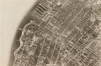
(AERIAL VIEWS--NEW YORK CITY) A partial album with 82 large-format and in-depth survey views entitled Sectional Aerial Map of the City of New York, depicting the boroughs of Queens, Brooklyn, and Staten Island. With images "photographed and assembled under the direction of the chief engineer," the detailed survey presents large, crisp views of our famed city, almost 100 years ago. Areas that are now real estate havens are depicted here as simple, open farmland, and Jamaica Bay is shown with a wealth of oxbows, inlets, and small islands, which no longer appear to exist. Silver prints, the images measuring 18 1/2x25 1/2 inches (47x64.8 cm.), linen-backed, each with a credit for the Board of Estimate and Apportionment, Chief Engineer, and Fairchild Aerial Studies, as well as the date, and distance scale, in the negative. Oblong elephant folio, lacks front cover; partial twin-bolt binding. 1924