Sale 2642 - Lot 1
Price Realized: $ 2,400
Price Realized: $ 3,000
?Final Price Realized includes Buyer’s Premium added to Hammer Price
Estimate: $ 3,000 - $ 4,000
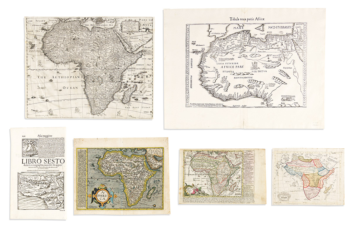
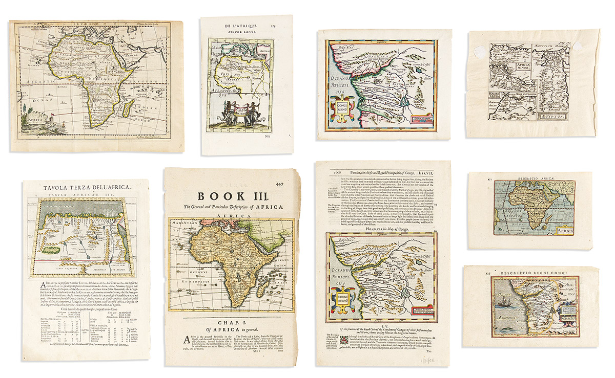
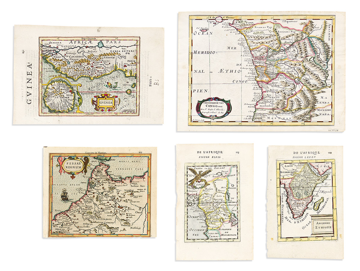
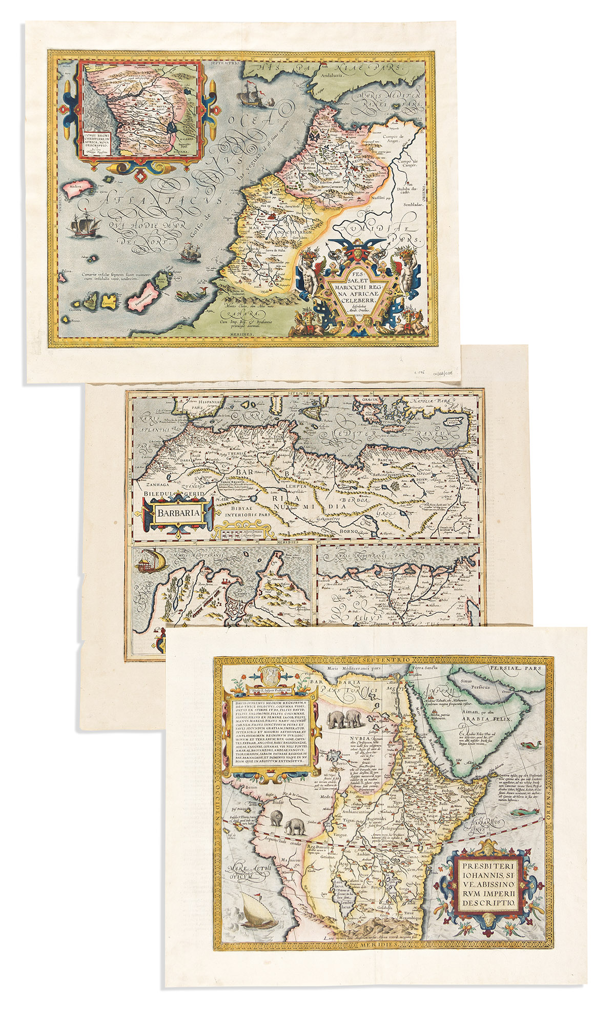
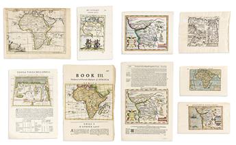
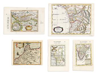
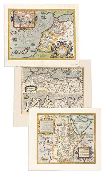
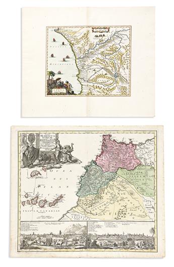
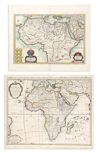
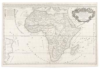
(AFRICA.) Collection of 28 sixteenth-to-eighteenth-century engraved maps. Vp, vd
Additional Details
- Laurent Fries. Tabula Nova Partis Africae. Double-page woodcut map of northern Africa. 15 3/4x21 inches sheet size, wide margins; minor edge stain but quite nice. [Strasbourg, circa 1525].
- Peter Heylyn; and Henry Seile. Africae Descriptio Nova Impensis. Double-page engraved map of the continent with attractive carto-ornamentation. 13 1/2x17 1/4 inches sheet size, short margins, but not shaved as common; a few scattered worm holes, crinkling at upper left. London, 1650s.
- Abraham Ortelius. Fessae, et Marocchi Regna Africae Celeberr. Hand-colored double-page engraved map of northwestern Africa with an inset of the Congo River region. 18 1/4x22 inches sheet size, wide margins, Latin text on verso; fine. Van den Broecke 177 1595L. Antwerp, 1595.
- Abraham Ortelius. Presbiteri Johannis, Sive, Abissinorum Imperii Descriptio. Hand-colored double-page engraved map of central Africa (i.e., the kingdom of Prester John). 18x21 1/4 inches sheet size, wide margins, Latin text on verso; fine. Van den Broecke 175 1609/1612L126. Antwerp, 1609 or 1612.
- Mercator/Hondius. Barbaria. Hand-colored double-page engraved map of northern Africa. 19 1/4x22 1/2 inches sheet size, wide margins, English text on verso; small marginal losses. Amsterdam, 1638.
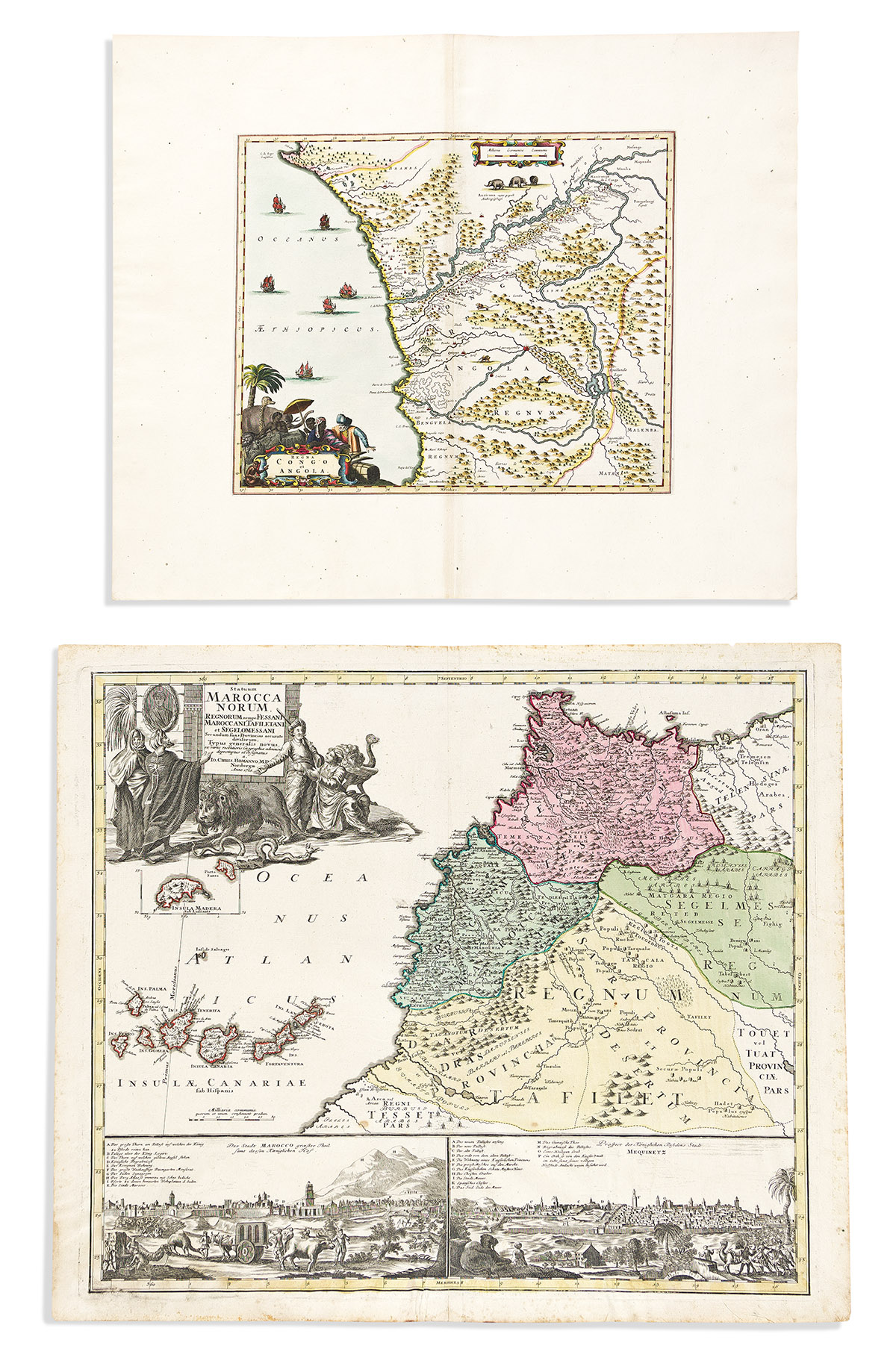
- Arnoldus Montanus or John Ogilby. Regna Congo et Angola. Hand-colored double-page engraved map of the Congo River region with a decorative provincial title cartouche. 17 1/2x21 inches sheet size, extra wide margins; fine. Amsterdam or London, 1671.
- Johann Baptist Homann. Statuum Marocca Norum. Double-page engraved map of northwestern Africa with lower panels of town views. 20 3/4x24 inches sheet size, wide margins; original hand-color; minor foxing at extremities, lower center fold reinforced on verso. Nuremberg, 1728.
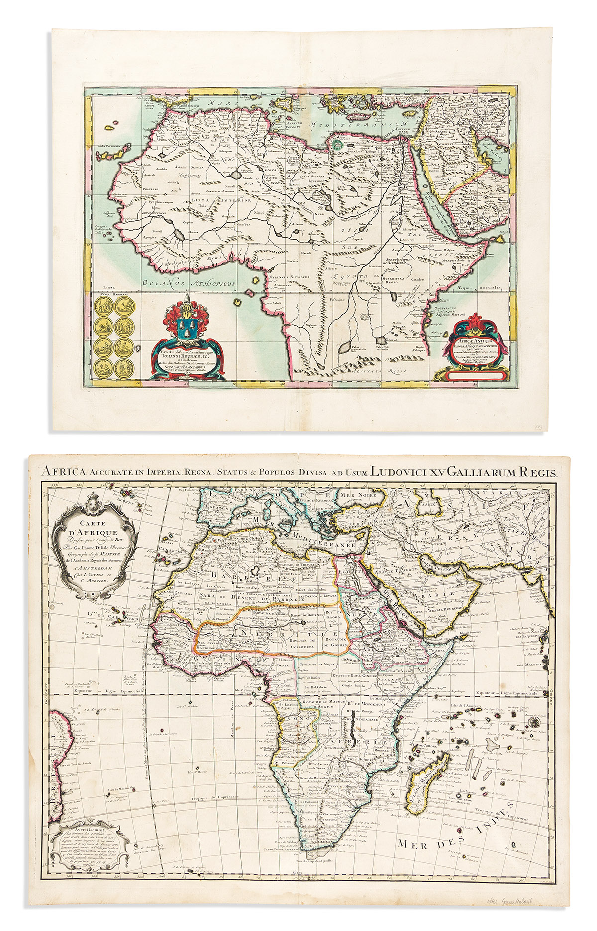
- Jansson/Blanckaert. Africae Antiquae. Hand-colored double-page engraved map of ancient Africa. 19 1/4x23 3/4 inches sheet size, wide margins; small stain at upper center else fine. Amsterdam, circa 1660.
- Covens & Mortier, after De L'Isle. Carte d'Afrique. Double-page engraved map of the continent. 21 1/2x25 3/4 inches sheet size, ample margins; original hand-color in outline; minor edge staining but a nice example. Amsterdam, circa 1740.
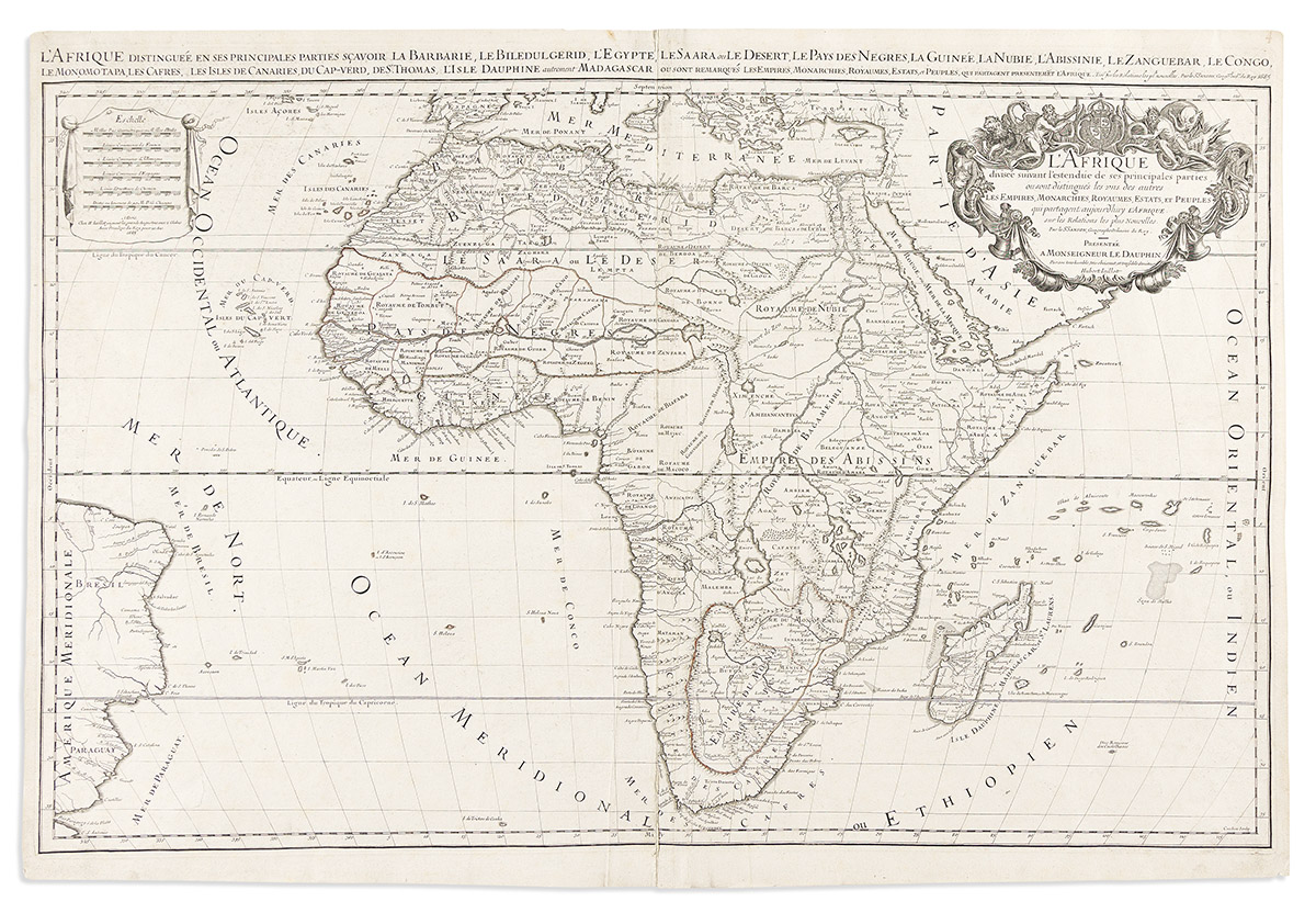
- Alexis-Hubert Jaillot. l'Afrique. Large double-page engraved map of the continent. 2 sheets joined, 24 1/4x36 inches overall, ample margins; minor signs of age. Paris, 1685.
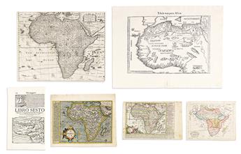
- Bussemacher/Quad. Aphrica. Hand-colored double-page engraved map of the continent. 10x12 3/4 inches sheet size, wide margins; minor edge tears, unobtrusive closed tear into lower center. Cologne, circa 1600.
- Sebastian Münster. [Africa]. Woodcut map of the continent on folio leaf of Latin text. 12 1/4x7 1/2 inches sheet size; fine. Basel, circa 1558.
- Johann Michael Probst. Africa. Engraved map of the continent with descriptive text panels. 7 1/4x11 1/4 inches sheet size, ample margins; original hand-color; minor soiling. Augsburg, circa 1790.
- Thomas Jefferys. Africa. Engraved folding map of the continent. 8x10 1/2 inches sheet size, ample margins; minor age toning. London, circa 1750.
- Petrus Bertius. Africa. Miniature hand-colored engraved map of the continent. 4 3/4x7 1/2 inches sheet size, wide margins, Latin header on verso; fine. Amsterdam, circa 1615.
- Petrus Bertius. Congo Regnum Christian in Africa. Miniature hand-colored engraved map of the Congo River region. 5x8 inches sheet size, wide margins, Latin text on verso; fine. Amsterdam, circa 1615.
- Giovanni Magini. Tabula Africae II / Tabula Africae III. Two miniature engraved maps of Northern Africa printed recto/verso on one folio leaf of Italian text. 11x7 3/4 inches sheet size, ample margins; fine. Venice, circa 1598.
- Herman Moll. Africa. Hand-colored map of the continent on a folio leaf of English text. 12x8 inches sheet size; wear at right edge. London, circa 1700.
- Mercator/Hondius. Congi Regnu. Hand-colored map of the Congo River region on a folio leaf of English text. 12 1/2x8 inches sheet size, wide margins; fine. London, circa 1635.
- Francois Halma, after Nicolas Sanson. 'T Koninkryk van Congo, enz. Hand-colored double-page engraved map of the Congo River region. 8 1/2x12 inches sheet size, wide margins; fine. Amsterdam, 1705.
- Mercator/Hondius. Guinea. Hand-colored engraved map of western Africa with an inset of St. Thomas. 10 3/4x7 inches sheet size, wide margins, English text on verso; fine. London, circa 1635.
- Mercator/Hondius. Congi Regnu. Hand-colored engraved miniature map of the Congo River region. 6 1/2x8 inches sheet size, wide margins, blank verso; fine. Amsterdam, circa 1610.
- Mercator/Hondius. Fessae Regnum. Hand-colored engraved miniature map of northwestern Africa. 6 1/2x8 1/4 inches sheet size, French text on verso; lower margin shaved to the platemark. Amsterdam, circa 1610.
- Alain Manesson Mallet. Zaara ou le Desert. Hand-colored map of Africa and the Mediterranean with a twin elephant title cartouche. 8 1/4x5 1/2 inches sheet size, wide margins, French text on verso; fine. Paris, 1683.
- Alain Manesson Mallet. Ancienne Ethiopie. Hand-colored map of southern and eastern Africa. 8x5 1/4 inches sheet size, wide margins, French text on verso; fine. Paris, 1683.
- Alain Manesson Mallet. Congo. Hand-colored map of western central Africa. 8 1/4x5 1/2 inches sheet size, wide margins, French text on verso; fine. Paris, 1683.
- Philipp Cluver. Africa Minor / Mauritania / Aegyptus. Engraved maps of three regions in Africa on one plate. 6 1/2x7 1/2 inches sheet size, wide margins; two spots of mounting residue to the margins, map fine. Amsterdam, circa 1660.
- [Anonymous - L.B.]. Affryka. Small engraved Czech-language folding map of the continent. 7 1/2x9 1/2 inches sheet size, ample margins; minor signs of age. Czechia?, circa 1750.
Exhibition Hours
Exhibition Hours
Aliquam vulputate ornare congue. Vestibulum maximus, libero in placerat faucibus, risus nisl molestie massa, ut maximus metus lectus vel lorem.


