Dec 05, 2013 - Sale 2334

Sale 2334 - Lot 2

Price Realized: $ 625
?Final Price Realized includes Buyer’s Premium added to Hammer Price
Estimate: $ 800 - $ 1,200
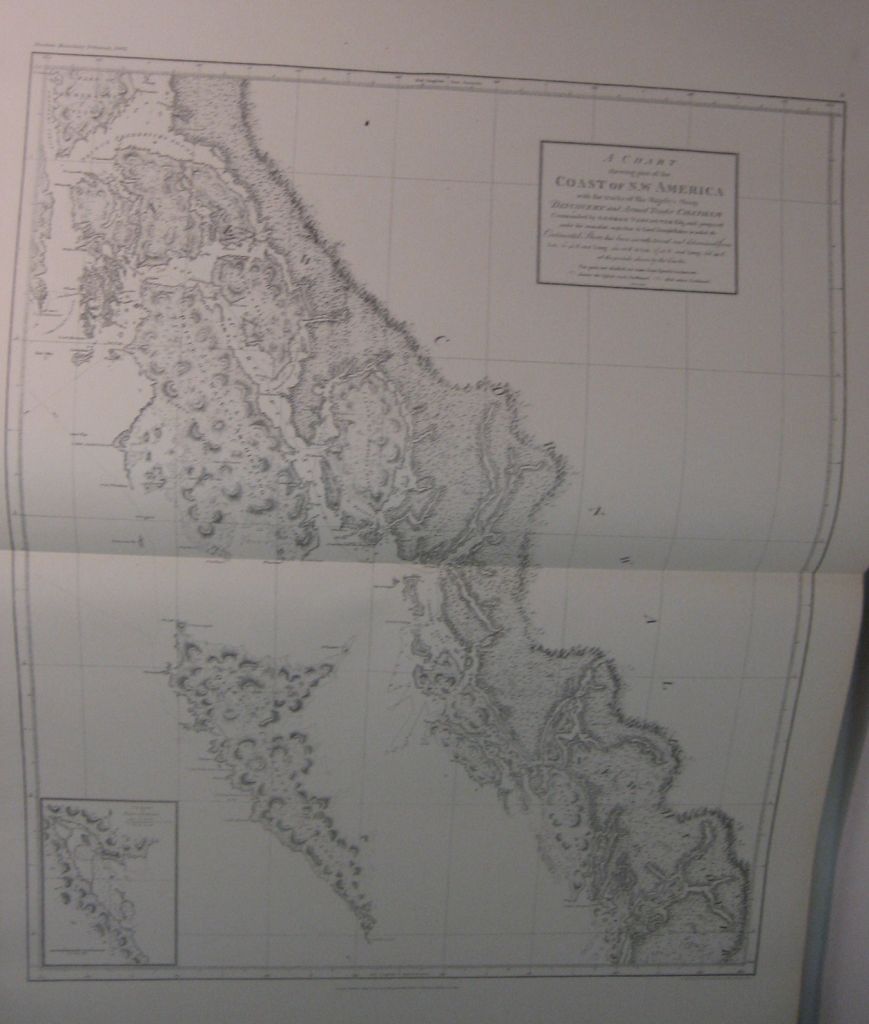
(ALASKA.) Alaska Boundary Tribunal. United States Atlas. Maps and Charts accompanying the Case and Counter Case of the United States. 3 atlas volumes, containing 108 maps [complete], lacking the published textual deliberations regarding the treaty. Folio, 475x390 mm, original 1/2 calf, rubbed at extremities, one cover loose, cover title labels present; internally bright and clean. 58th Congress, 2nd Session, Senate Document 162. Washington, 1904

Additional Details

Reproductions of maps used in the deliberations which finally established the true border between the United States and Canada in the West, including historic maps by Tibienkov, Arrowsmith, Brué, the United States Geodetic Survey, and others.