Jun 21, 2018 - Sale 2483

Sale 2483 - Lot 79

Unsold
Estimate: $ 2,000 - $ 3,000
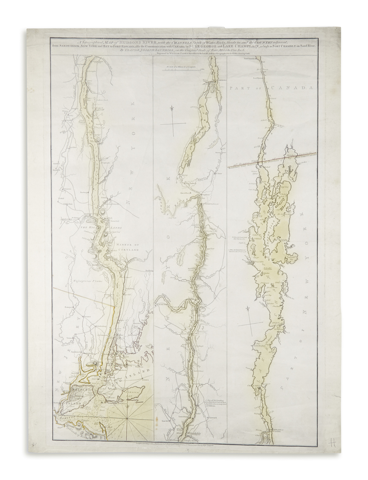
(AMERICAN REVOLUTION.) Faden, William; engraver; after C.J. Sauthier. A Topographical Map of Hudson's River . . . from Sandy Hook . . . to Fort Edward. Triple-image double-page engraved map, hand-colored in outline, 33x24 1/2 inches; light creasing, minor soiling, several repaired short tears at edges, mount remnants on verso. London, "1 October 1776" but likely weeks later

Additional Details

Faden's Revolutionary War era map of the Hudson River. The river is portrayed in 3 vertical panels. The left panel depicts New York City and its harbor (with soundings) before following the river to Rhinebeck. The second panel shows the northern part of the river past Albany to Fort Edward, and then Lake George up to Ticonderoga. The final panel shows Lake Champlain into Canada. Some battle sites are noted with their dates, including the Battle of Long Island. This is the third state, which notes the 11 October 1776 Battle of Valcour Island, which took place ten days after the purported publication date--but not the 12 October note on the burning of the rebel fleet which appears in the fourth state. Stevens & Tree, Comparative Cartography 23c, in Tooley's Mapping of America.