Jun 13, 2024 - Sale 2672

Sale 2672 - Lot 14

Price Realized: $ 2,375
?Final Price Realized includes Buyer’s Premium added to Hammer Price
Estimate: $ 800 - $ 1,200
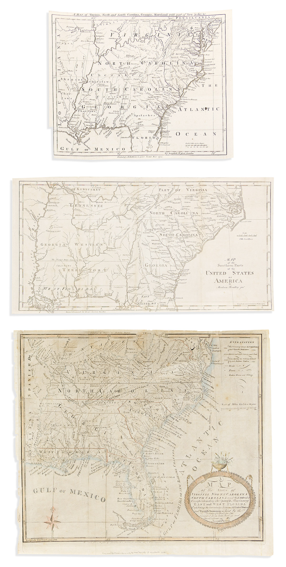
(AMERICAN SOUTHEAST.) Group of 3 engraved maps of the region. Vp, vd

Additional Details

- Joseph Purcell. A Map of the States of Virginia, North Carolina, South Carolina and Georgia, Comprehending the Spanish Provinces of East and West Florida, Exhibiting the Boundaries Between the United States and Spanish Dominions. Engraved folding map. 13½x15½ inches sheet size, ample margins; hand-colored in outline; large closed tear at left. Boston: Thomas & Andrews, [1793]. Wheat & Brun 494. (Showing "Country of Frank Land" in western North Carolina).

- London Magazine. A Map of Virginia, North and South Carolina, Georgia, Maryland with Part of New Jersey &c. Engraved folding map in the manner of Mitchell. 9x11 inches sheet size, ample margins, trimmed slightly at lower left for binding; archivally lined on verso with thin tissue. London, 1755. Jolly LOND-95.

- Abraham Bradley. Map of the Southern Parts of the United States of America. Engraved folding map. 8¼x15¾ inches sheet size, ample margins; archivally lined on verso with thin tissue. Boston, 1797.