?Final Price Realized includes Buyer’s Premium added to Hammer Price
Estimate: $ 600 - $ 900
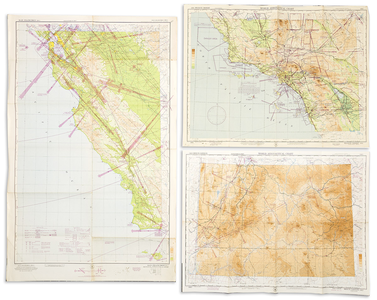
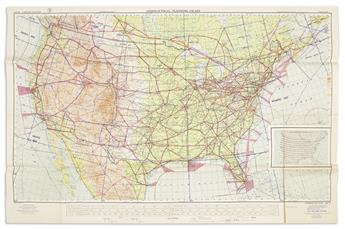
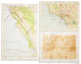
(AVIATION -- AERONAUTICAL PLANNING CHARTS.) U.S. Coast and Geodetic Survey; and others. Group of approximately 20 mid-twentieth-centuryAmerican government maps and charts. Various sizes; original folds, several with manuscript annotations, generally good condition. Washington, D.C., 1940s-1950s
- Aeronautical Chart and Information Center. U.S. Air Force Weather Plotting Chart. 24x39 1/2 inches. 1959. (3 copies).
Together with a group of non-aeronautic maps: Copeland & Kephart. Blueprint planning survey for Walleston Court, Alexandria, VA. 24x36 inches. 1978; A Map of Roads & Trails in the Vicinity of "The Homestead" Hot Springs, VA. 19 3/4x31 3/4 inches. 1968; Philips' Clear-Print Popular Map of London. Fold-out in printed wraps. Circa 1920s; Washington, D.C. Highway Map. 1969; Army Map Service Corps of Engineers. Road Map of France. Fold-out in printed wraps. 1944; and approximately 23 National Geographic Magazine folding maps of various locations from the 1940s-1960s.