May 29 at 12:00 PM - Sale 2706 -

Sale 2706 - Lot 42

Estimate: $ 1,200 - $ 1,800
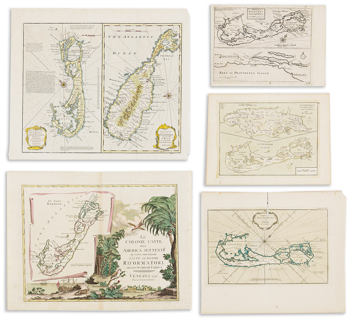
(BERMUDA.) Group of 5 eighteenth-century engraved maps. Vp, vd

Additional Details

- Herman Moll. The Island of Bermodos Divided into its Tribes, with the Castles, Forts &c. Small engraved folding map of Bermuda with an inset of Providence Island, Bahamas. 8¾x12¼ inches sheet size; worm holes at lower edge. London, 1729.

- Jean-Baptiste Crepy. La Jamaique / La Bermude. Double-page engraved map of Jamaica and Bermuda. 10x13¼ inches sheet size, wide margins; original hand-color; no flaws of note. Paris, 1767.

- Jacques Nicolas Bellin. Carte Des Isles Bermudes ou de Sommer. Double-page engraved map of Bermuda. 13x15½ inches sheet size, wide margins; original hand color; small sliver at upper center fold excised (for binding?). Paris, circa 1764.

- Emanuel Bowen. A New & Accurate Map of Bermudas or Sommer's Islands / An Accurate Map of the Island of St. Christopher, Vulgarly Called St. Kits. Engraved double-panel folding map of Bermuda and St. Christopher. 16¼x19½ inches sheet size, wide margins; hand-colored; minor edge wear. London, 1747.

- Antonio Zatta. Le Colonie Unite dell' America Settentrle / Le Isole Bermude. Double-page engraved map of Bermuda inset to a large decorative colonial-themed cartouche. 15x20 inches sheet size, wide margins; original hand-color; minor signs of age. Venice, 1778.