May 29 at 12:00 PM - Sale 2706 -

Sale 2706 - Lot 51

Estimate: $ 700 - $ 1,000
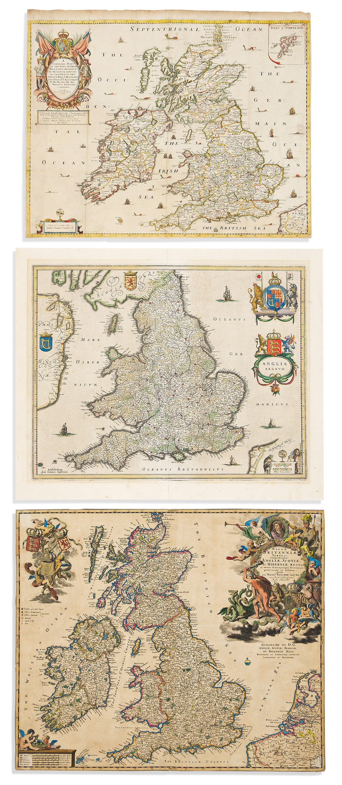
(BRITISH ISLES.) Group of 3 decoratively ornamented seventeenth-century engraved maps. Vp, vd

Additional Details

- Richard Blome. A Generall Mapp of the Isles of Great Brittaine. Hand-colored engraved folding map of England, Scotland, Wales and Ireland. 16¼x20¼ inches sheet size, upper margin wide others narrow; repair at lower left fold, spots of mount residue on verso. London, 1669.

- Nicolas Visscher. Magnae Britanniae Tabula. Hand-colored double-page engraved map of England, Scotland, Wales and Ireland. 18¼x21½ inches sheet size, margins trimmed to the neatline; light age tone, backed on early heavy gray paper. Amsterdam, circa 1690.

- Johannes Janssonius. Anglia Regnum. Hand-colored double-page engraved map of England and Wales. 18x22 inches sheet size, wide margins, French text on verso; mat line. Amsterdam, circa 1640.