Mar 10, 2020 - Sale 2533

Sale 2533 - Lot 31

Price Realized: $ 1,000
?Final Price Realized includes Buyer’s Premium added to Hammer Price
Estimate: $ 1,500 - $ 2,500
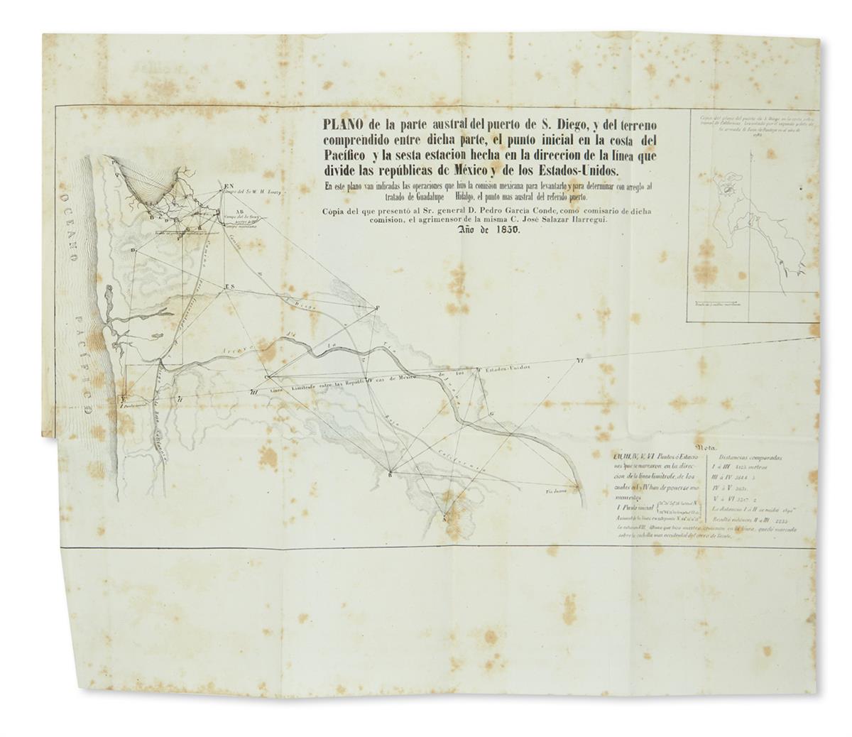
THE FIRST SURVEY OF THE NEW BORDER OF CALIFORNIA AND MEXICO (CALIFORNIA.) Salazar Ylarregui, Jose. Datos de los trabajos astronómicos y topográficos. 2 folding maps, of San Diego and of the junction of the Gila and Colorado Rivers; frontispiece plate. 123 pages. 4to, contemporary 1/2 sheep, minor wear; moderate foxing, plate coming detached, San Diego map slightly cropped. Mexico, 1850

Additional Details

"The first detailed printed account of the regions traversed by Salazar, the surveyor for the Mexican border commission . . . Salazar's duties only took him to San Diego and to the confluence of the Gila with the Colorado"--Streeter sale V:2648. "Published before the United States report and is the first accurate description of the country"--Graff 3652. The frontispiece plate, a lithograph portrait of General Mier de Teran, is not called for in the bibliographies. Howes S47 ("b"); Palau 286944; Sabin 75598; Wagner-Camp 190. Bound with--"Variedades de la civilizacion, nueva epoca," Tomo I. 174, [1] pages; rear hinge split. Includes an essay on "Los Estados-Unidos," pages 18-22. Mexico, 1852.