Jun 21, 2016 - Sale 2420

Sale 2420 - Lot 78

Price Realized: $ 2,375
?Final Price Realized includes Buyer’s Premium added to Hammer Price
Estimate: $ 2,000 - $ 3,000
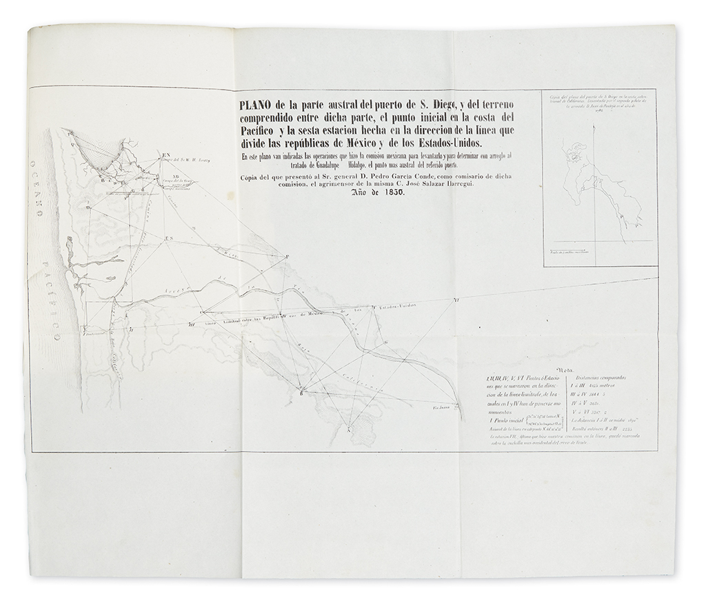
THE FIRST SURVEY OF THE NEW BORDER OF CALIFORNIA AND MEXICO (CALIFORNIA.) Salazar Ylarregui, José. Datos de los trabajos astronómicos y topográficos. 2 folding maps, of San Diego and of the junction of the Gila and Colorado Rivers. 123 pages. 4to, contemporary 1/4 sheep, moderate wear; faded with moderate wear; minor wear to maps. Mexico, 1850

Additional Details

"The first detailed printed account of the regions traversed by Salazar, the surveyor for the Mexican border commission . . . Salazar's duties only took him to San Diego and to the confluence of the Gila with the Colorado"--Streeter sale V:2648. "Published before the United States report and is the first accurate description of the country"--Graff 3652. Howes S47 ("b"); Palau 286944; Sabin 75598; Wagner-Camp 190.