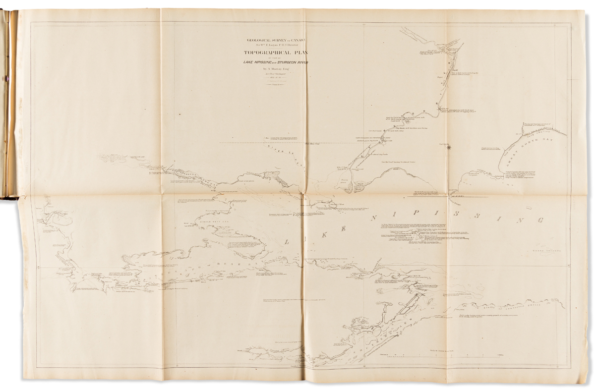
(CANADA.) Geological Survey of Canada; William Logan, Director. Plans of Various Lakes and Rivers Between Lake Huron and the River Ottawa,to Accompany the Geological Reports for 1853-54-55-56. 22 large folding lithographed maps. 4to, 12x10 inches, publisher's lightly worn roan-backed purple cloth boards with gilt stamped morocco lettering piece on upper cover; various irregular folds, tears and scattered staining. Toronto: John Lovell, 1857