Dec 09, 2004 - Sale 2027

Sale 2027 - Lot 73

Price Realized: $ 1,150
?Final Price Realized includes Buyer’s Premium added to Hammer Price
Estimate: $ 700 - $ 1,000
(CANADA.) Group of 14 engraved maps of Canadian subjects, various small sizes; generally wide margins; many with coloring. Vp, 18th-19th century

Additional Details


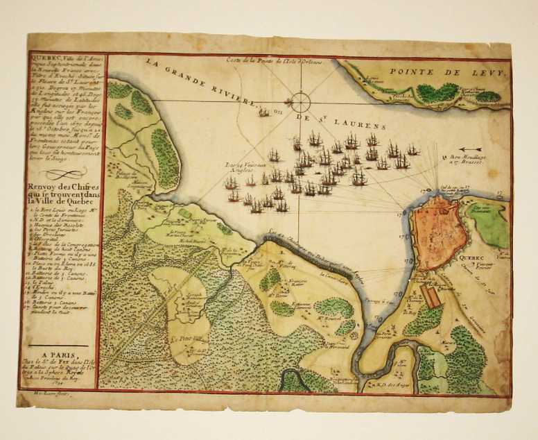
A Chart of the Interior Part of North America Demonstrating the very great probability of an Inland Navigation from Hudsons Bay to the West Coast. Cellotape stain in right margin extending just into the image. Nd Robert de Vaugondy. Bayes d'Hudson et de Baffins et Terre de Labrador. 1749 Robert de Vaugondy. Partie du Canada ou se trouvent Le Fleuve St. Laurent et la Nouvelle Ecosse. 1749 Karte von der Hudsons Bay und Strasse. 1757 A New and Accurate Map of Quebec. Nd Bonne. Canada. Nd Bonne. Isle et Banc de Terre-Neuve. Nd A Plan of the Straits of St. Mary and Michilimakinac. Nd A Plan of the City of Quebec. 1771 London Magazine. A Plan of the River St. Lawrence from the Falls of Montmorenci to Sillery. Nd Fer. Quebec. Dampstained along right edge in image, margin trimmed to neatline on left, toned. 1694 An Authentic Plan of the River St. Laurence . . . with the Siege of Quebec. Defective along right edge. 1759 London Magazine. Plan of the Town & Fortifications of Montreal. Nd The Isles of Montreal. Torn at fold. Nd.