Jun 23, 2022 - Sale 2610

Sale 2610 - Lot 39

Price Realized: $ 625
?Final Price Realized includes Buyer’s Premium added to Hammer Price
Estimate: $ 700 - $ 1,000
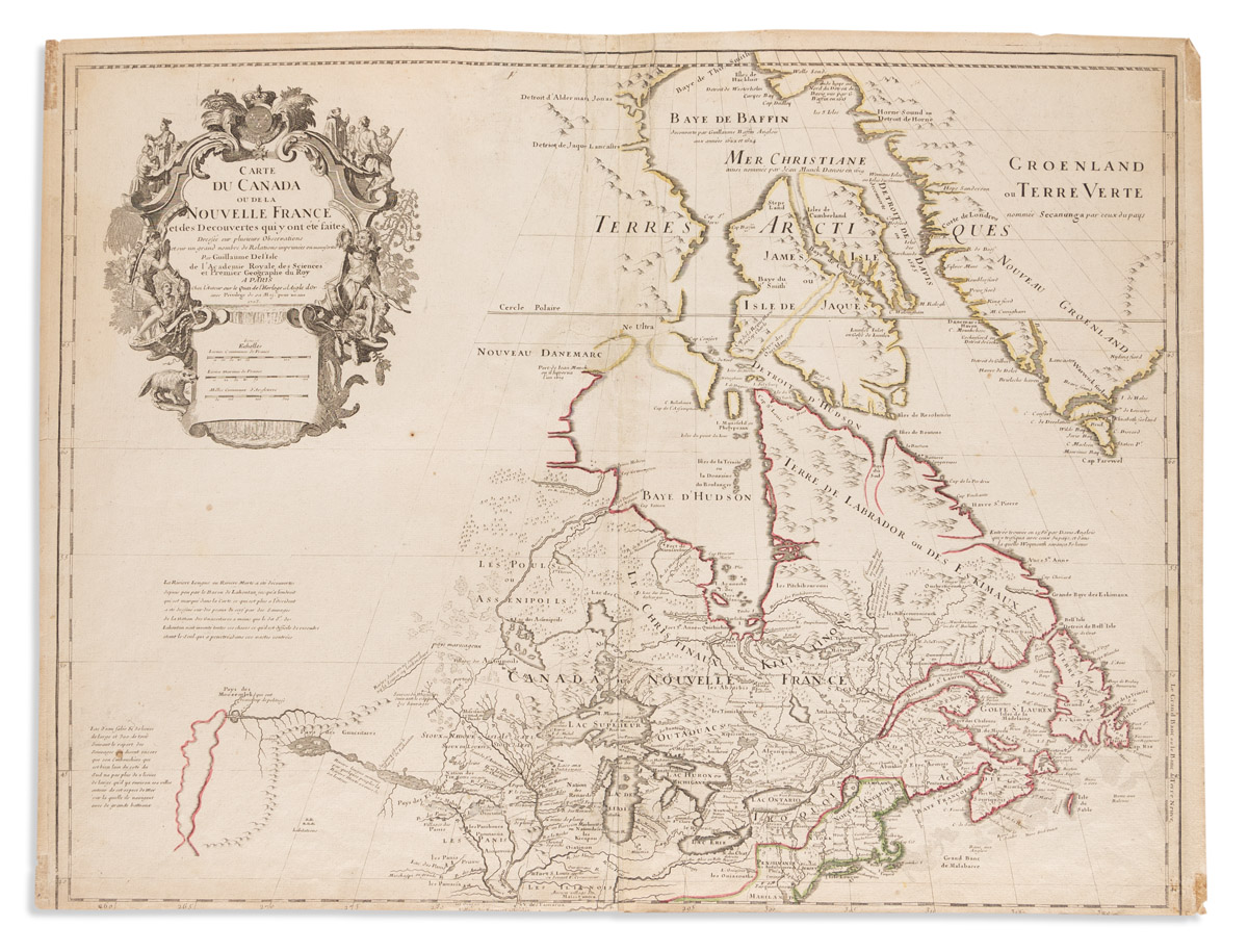
(CANADA.) Guillaume de L'Isle. Carte du Canada ou de la Nouvelle France. Double-page engraved map of eastern Canada and the Great Lakes region with a fine figural title cartouche in the blank northwest. 20x26 1/4 inches sheet size, lower margin trimmed within the neatline, other margins ample; original hand-color in outline; large tears repaired at upper center, spots of tape desiccation at each corner. Paris, 1703 [but circa 1718]

Additional Details

One of the most outstanding maps of Canada from the early 18th century. "De L'Isle's careful research resulted in the first map of Canada to present the whole of the Great Lakes correctly" and the region is shown "much more realistically than in previous maps of Canada" (Kershaw). 5th state: Kershaw 312; Tooley, French Mapping 38.