Apr 27, 2017 - Sale 2444

Sale 2444 - Lot 84

Price Realized: $ 3,750
?Final Price Realized includes Buyer’s Premium added to Hammer Price
Estimate: $ 4,000 - $ 6,000
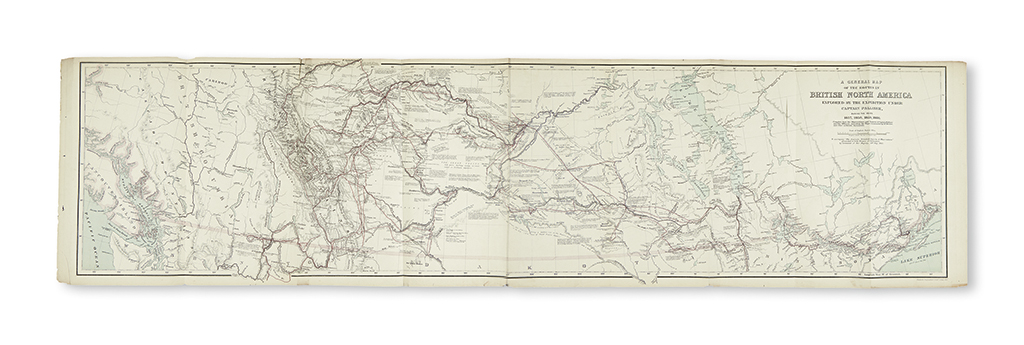
(CANADA.) Palliser, John. Exploration--British North America. Papers Relative to the Exploration . . . of that Portion of British North America which Lies between the Northern Branch of the River Saskatchewan and the Frontier of the United States; and between the Red River and Rocky Mountains bound with Further Papers Relative to the Exploration and The Journals, Detailed Reports, and Observations Relative to the Exploration, plus laid in Index and Maps to Captain Palliser's Reports. 16 maps (most folding, most hand-colored) plus 2 duplicates and an extra facsimile. 64, 75, 325; 3 pages. 4 volumes in 2. Folio, modern 1/2 morocco, minor wear, original printed wrappers bound in (last volume in original wrappers); typescript index to 1863 volume bound in, final loose volume worn; signature of George Vaux Jr. on first wrapper. London, 1859, 1860, 1863, 1865

Additional Details

Palliser's expedition sought potential railroad routes across the Canadian Rockies, and amassed considerable scientific knowledge along the way. The expedition also ventured across the 49th parallel into what is now Montana's Glacier National Park. Graff 3167; Howes P42 ("c"--quite rare); Sabin 58331-2; Streeter sale VI:3728; TPL 3928, 4002, 4264; Wagner-Camp 338:1-3a; Wheat, Transmississippi West, 1011a, 1082, and pages V:36-7 and 83-4. We know of no other copies at auction since 1992.