Jun 13, 2024 - Sale 2672

Sale 2672 - Lot 29

Price Realized: $ 2,000
?Final Price Realized includes Buyer’s Premium added to Hammer Price
Estimate: $ 1,500 - $ 2,500
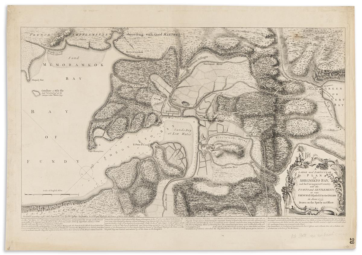
(CANADA.) Thomas Jefferys. A Large and Particular Plan of Shegnekto Bay, and the Circumjacent Country, with the Forts and Settlements of the French 'till Dispossess'd by the English in June 1755. Large separately issued engraved map of the inlet of Chignetco Bay connecting New Brunswick and Nova Scotia east of the Bay of Fundy. 17x24¼ inches sheet size, wide margins; soft creases and minor edge wear, small rusted hole at upper right, ink-stamped pagination at lower corner. London, 16 August 1755

Additional Details

Finely detailed map displaying terrain, forested and marshy areas, roads, scattered forts and houses, an "Indian Settlement," and depth soundings near the shore in Chignecto Bay. The scenic Hopewell Rocks geological formation is apparently named here "Haha Mountain." At the center of the map is Fort Beauséjour, which was captured by the English in 1755 and renamed Fort Cumberland. The map was "drawn on the spot by an officer," and is captioned below with extensive text on the British actions in the region.

A later issue was included in the 1768 Jefferys atlas "General topography of North America"; that issue states after the caption text that it was "Printed for R. Sayer." Rare at auction with the last traced result here at Swann June 15, 2006, lot 122.