Dec 05, 2017 - Sale 2464

Sale 2464 - Lot 260

Unsold
Estimate: $ 800 - $ 1,200
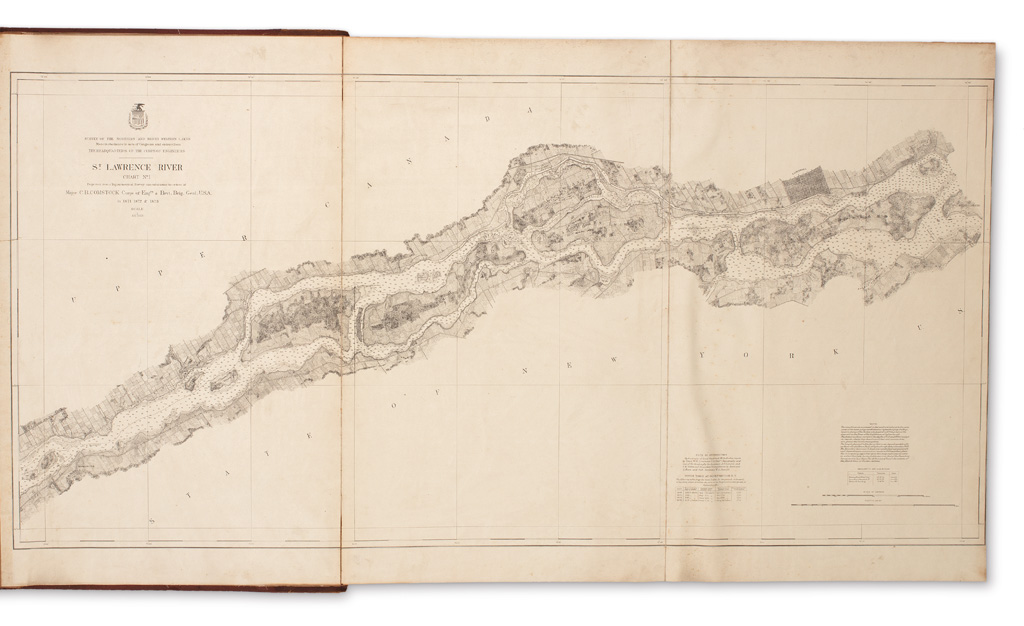
(CANADA.) United States Army Corps of Engineers. Survey of the Northern and North Western Lakes. 7 large folding photo-lithographic charts on guards. Elephant folio, 27 1/2x18 1/2 inches, period half calf over cloth boards with gilt stamped lettering piece on upper cover, rubbed with some staining; charts on linen (as issued?), some light soiling, few small separations at folds. Washington, D.C., 1873-1876

Additional Details

A scarce and unusual complete set of 6 charts (1-6) of the St. Lawrence River compiled by the Army Corps of Engineers under command of Major Cyrus Ballou Comstock. The seventh chart is Lake Ontario Coast Chart 1, Stony Point and South Bay Point to Howe Island. OCLC locates just three complete sets of the maps: University of Bern, New York Public Library, and the Wisconsin Historical Society (though a later edition with dates through 1900.)