Jun 13, 2024 - Sale 2672

Sale 2672 - Lot 34

Price Realized: $ 1,000
?Final Price Realized includes Buyer’s Premium added to Hammer Price
Estimate: $ 1,500 - $ 2,000
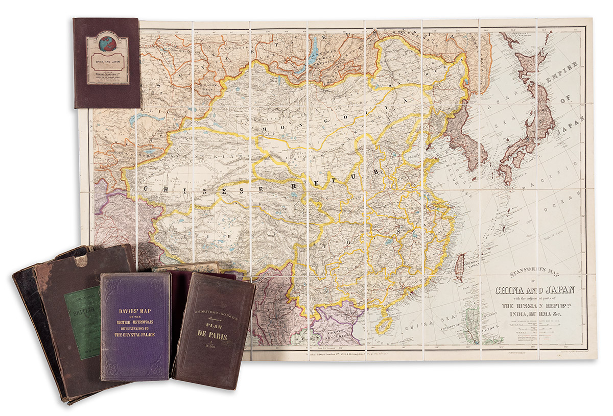
(CASE MAPS.) Group of 7 nineteenth-and-early-twentieth-century engraved or lithographed maps of various locations. Individual photographs on request. Vp, vd

Additional Details

- Edward Stanford. Stanford's Map of China and Japan with the Adjacent Parts of the Russian Repubcs., India, Burma &c. Hand-colored lithograph; 26¾x40½ inches overall, segmented, mounted on original linen backing and folding into publisher's 8vo format cloth case with printed paper label; minor wear. London, 1927.

- James Wyld. Map of the Superficial Geology of the British Isles, with the Physical and Topographical Features, Their Primary and Intermediate Stations, the General Internal Communication of the Countries, and the Steam Packet Routes, with the Distance from Port to Port. Hand-colored engraving; 51x39¼ inches overall, segmented, mounted on original linen backing and folding into marbled paper self-wrappers; scattered stains and surface soiling. London, 1843.

- J. & C. Walker. England & Wales, Founded Upon the Grand Trigonometrical Survey, Shewing all the Railways the Rivers & Navigable Canals, also the Boundaries & Divisions of Counties, the Extent of Boroughs Under the Reform Act Together with the Sand Banks & Soundings Round the Coast. Hand-colored engraving; 53x41¼ inches overall, segmented, mounted on original linen backing and folding into card self-wrappers with damaged calf slipcase; moderate signs of age. London, 1860.

- Andrew Ramsay; and Edward Stanford. Geological Map of the British Isles. Hand-colored lithograph; 61¼x53¼ inches overall, segmented, mounted on original linen backing and folding into marbled paper self-wrappers with worn card slipcase; map with moderate surface soiling and offset. London, 1878.

- Benjamin Rees Davies and Edward Stanford. Davies's New Map of the British Metropolis. Hand-colored lithograph; 38½x38½ inches overall, segmented, mounted on original linen backing and folding into publisher's 8vo format cloth case; spine sunned and frayed, map fine. London, 1871.

- Buenos Aires & Pacific Railway Company; and Waterlow & Sons. Map of the Argentine Railways. Chromolithograph; 39x29¼ inches overall, segmented, mounted on original linen backing and folding into publisher's 8vo format cloth case; minor signs of age but generally fine. Buenos Aires and London, 1925.

- Andriveau-Goujon. Plan de Paris. Hand-colored lithograph; 32½x41¼ inches overall, segmented, mounted on original linen backing and folding into publisher's 8vo format cloth gilt case; a few spots of ink smudge, but generally fine. Paris, 1877.