May 29 at 12:00 PM - Sale 2706 -

Sale 2706 - Lot 64

Estimate: $ 800 - $ 1,200
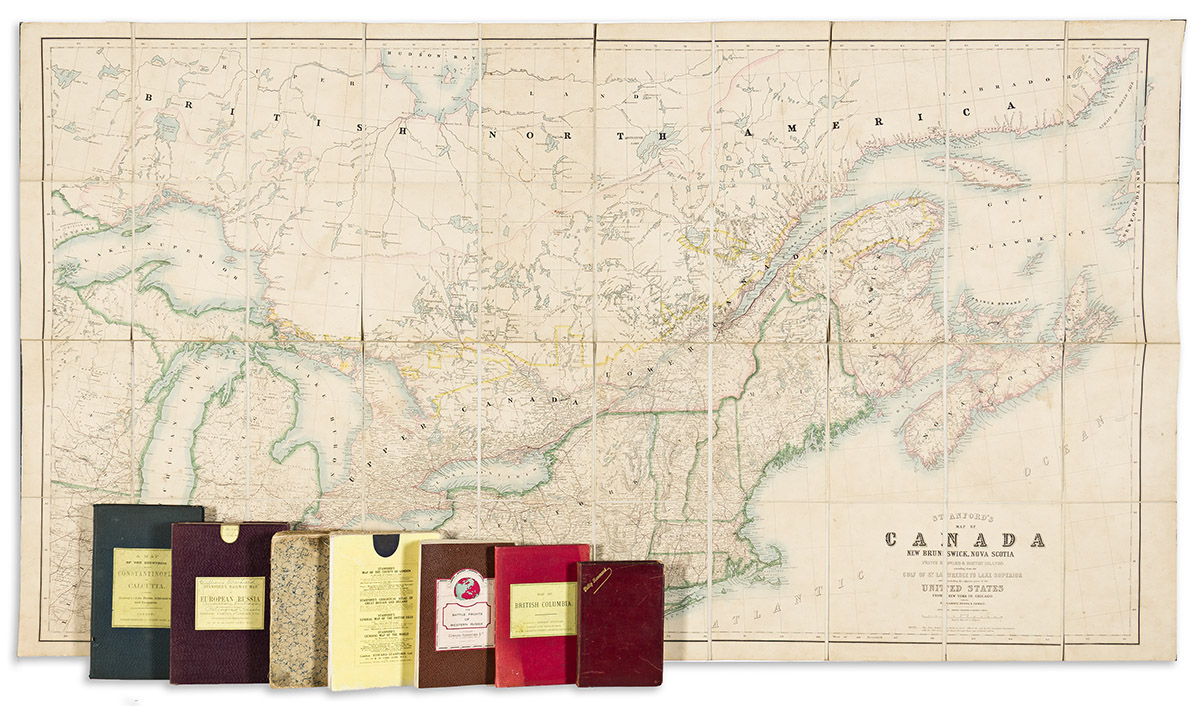
(CASE MAPS.) Group of 8 miscellaneous nineteenth-and-twentieth-century folding maps. Individual photos on request. Vp, vd

Additional Details

- James Wyld. Map of the Countries Lying Between Turkey & Birmah, Comprising Asia Minor, Persia, India, Egypt & Arabia. hand-colored engraving. 31½x32 inches overall, segmented, mounted on original linen backing, and folding into marbled paper self-wrappers; linen deteriorated and split along several fold lines. London, 1839.

- Edward Stanford. British Colombia and the North West Territory in the Dominion of Canada. Hand-colored lithograph. 21x27¾ inches overall, segmented, mounted on original linen backing, and folding into publisher's 8vo format cloth case; very nice. London, circa 1870.

- Edward Stanford. Stanford's Map of Canada New Brunswick, Nova Scotia Prince Edward & Breton Islands Extending from the Gulf of St. Lawrence to Lake Superior and Including the Adjacent parts of the United States from New York to Chicago with the Railways, Roads, & Canals. Hand-colored lithograph. 33½x60½ inches overall, segmented, mounted on original linen backing, and folding into advertisement-printed yellow paper self-wrappers; moderate soiling. London, circa 1870.

- Edward Stanford. A Map of the Countries Between Constantinople and Calcutta Including Turkey in Asia, Persia, Afghanistan & Turkestan. Hand-colored lithograph. 26½x37 inches overall, segmented, mounted on original linen backing, and folding into publisher's 8vo format cloth covers; minor foxing but nice. London, 1879.

- Edward Stanford. Stanford's Map of the Battle Fronts of Western Russia Murmansk to Batum. Color-printed lithograph. 44½x34½ inches overall, segmented, mounted on original linen backing, and folding into pebbled cloth self-wrappers; tack holes to the edges. London, circa 1880.

- D. Esteban T. Pichardo; and D. Jose Valdepares. Plano de la Habana. Lithograph with printed-and-hand-color. 29x37 inches overall, mounted on original linen backing and folding into a Philip Hammond gilt-stamped roan case; average signs of age. Np, circa 1900.

- Edward Stanford. Stanford's Railway map of European Russia. Hand-colored lithograph overprinted in red. 48x38½ inches overall, segmented, mounted on original linen backing, and folding into publisher's 8vo format cloth slipcase with printed paper title label; very nice. London, 1915.

- Edward Stanford. Stanford's Commercial Map of Scandinavia and the Baltic Ports with Inset Maps of Iceland and Spitsbergen. Color-printed lithograph. 47½x39 inches overall, segmented, mounted on original linen backing, and folding into advertisement-printed yellow paper self-wrappers; lightly worn. London, 1931.