Dec 07, 2023 - Sale 2655

Sale 2655 - Lot 38

Price Realized: $ 1,062
?Final Price Realized includes Buyer’s Premium added to Hammer Price
Estimate: $ 700 - $ 1,000
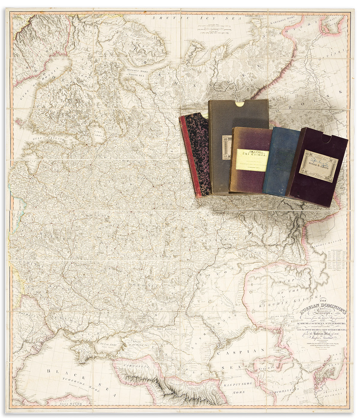
(CENTRAL and EASTERN EUROPE.) Group of 6 large nineteenth-and-early-twentieth-century hand-colored engraved or lithographed case maps. Individual photographs on request. Vp, vd

Additional Details

- C.J.C. Raab. Special-Karte der Eisenbahn-Post u. Dampfschiff-Verbindungen Mittel-Europa's. 2 sections, 48x28 1/2 inches each, segmented, mounted on original linen backing with yellow paper self-wrappers and folding into publisher's 8vo format cloth slipcase; minor wear. Glogow: Carl Flemming, circa 1870.

- Artaria & Company. Karte des Oesterreichisch-Ungarischen Reiches. 42 1/2x58 1/2 inches overall, segmented, mounted on original linen backing, and folding into publisher's gilt cloth-backed marbled paper slipcase; minor wear. Vienna, 1880.

- Adolf Steiler. Europaisches Russland und Nord-Skandinavien in 6 Blattern. 42x35 inches overall, segmented, mounted on original linen backing with yellow paper self-wrappers and folding into original cloth slipcase with Edward Stanford label pasted on; minor wear. Gotha: Justus Perthes, circa 1912.

- Jasper Nantiat. The Russian Dominions in Europe. 43 1/2x37 inches overall, segmented and mounted on original linen backing with William Faden label pasted to verso; minor wear. London: Faden, 1808.

- James Wyld. Wyld's Map of the Baltic or East Sea Including the Gulf of Finland and Surrounding Countries Shewing the Present Seat of War. 20x27 1/2 inches overall, segmented, mounted on original linen backing and folding into publisher's 8vo format cloth case; minor wear. London, 1854.

- John Arrowsmith. Southern Portion of the Crimea. 25 1/2x33 1/2 inches overall, segmented, mounted on original linen backing and folding into publisher's 8vo format cloth case; minor wear. London, 1854.