Dec 17, 2020 - Sale 2555

Sale 2555 - Lot 46

Price Realized: $ 688
?Final Price Realized includes Buyer’s Premium added to Hammer Price
Estimate: $ 350 - $ 450
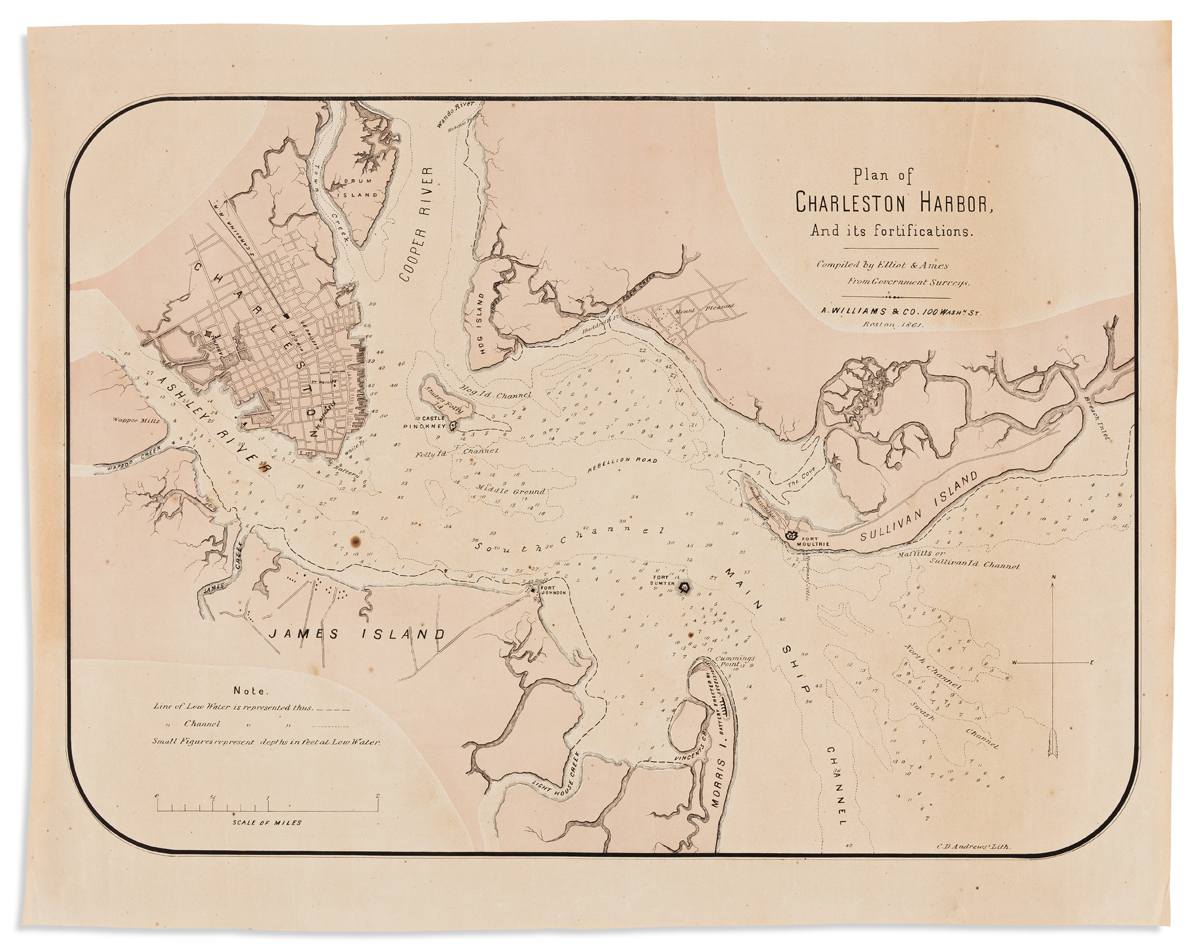
(CHARLESTON -- CIVIL WAR.) Elliot & Ames. Plan of Charleston Harbor, and its Fortifications. Hand-colored lithographed map of Charleston Harbor. 17x21 1/2 inches sheet size, wide margins; a few spots of foxing, soft creases, and a small marginal closure but generally very nice. Boston: A. Williams, 1861

Additional Details

Separately issued harbor plan published either just before, or just after, the beginning of the American Civil War at Fort Sumter; at the tip of Morris Island we find the "Battery Erected by Secessionists".