?Final Price Realized includes Buyer’s Premium added to Hammer Price
Estimate: $ 400 - $ 600
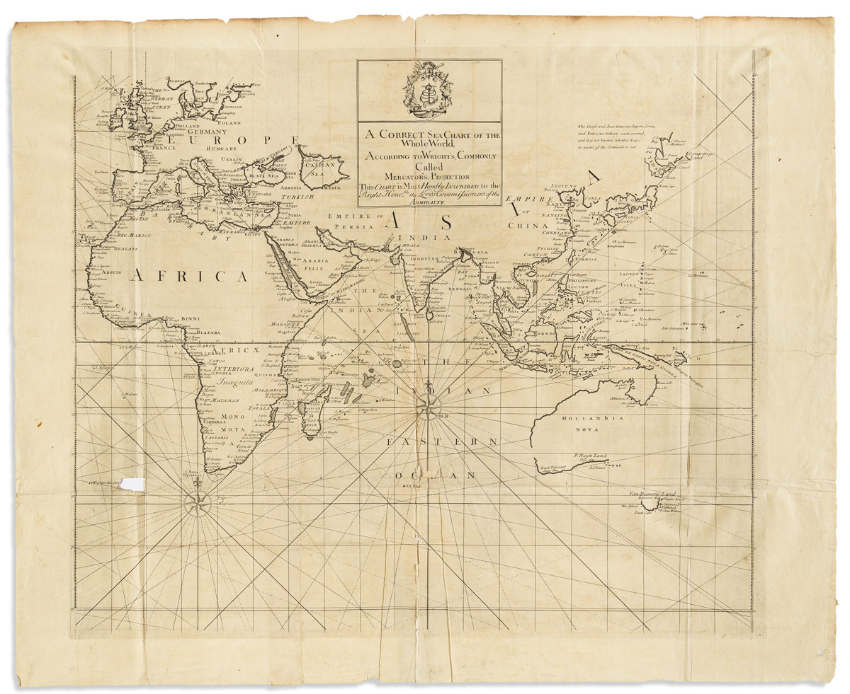
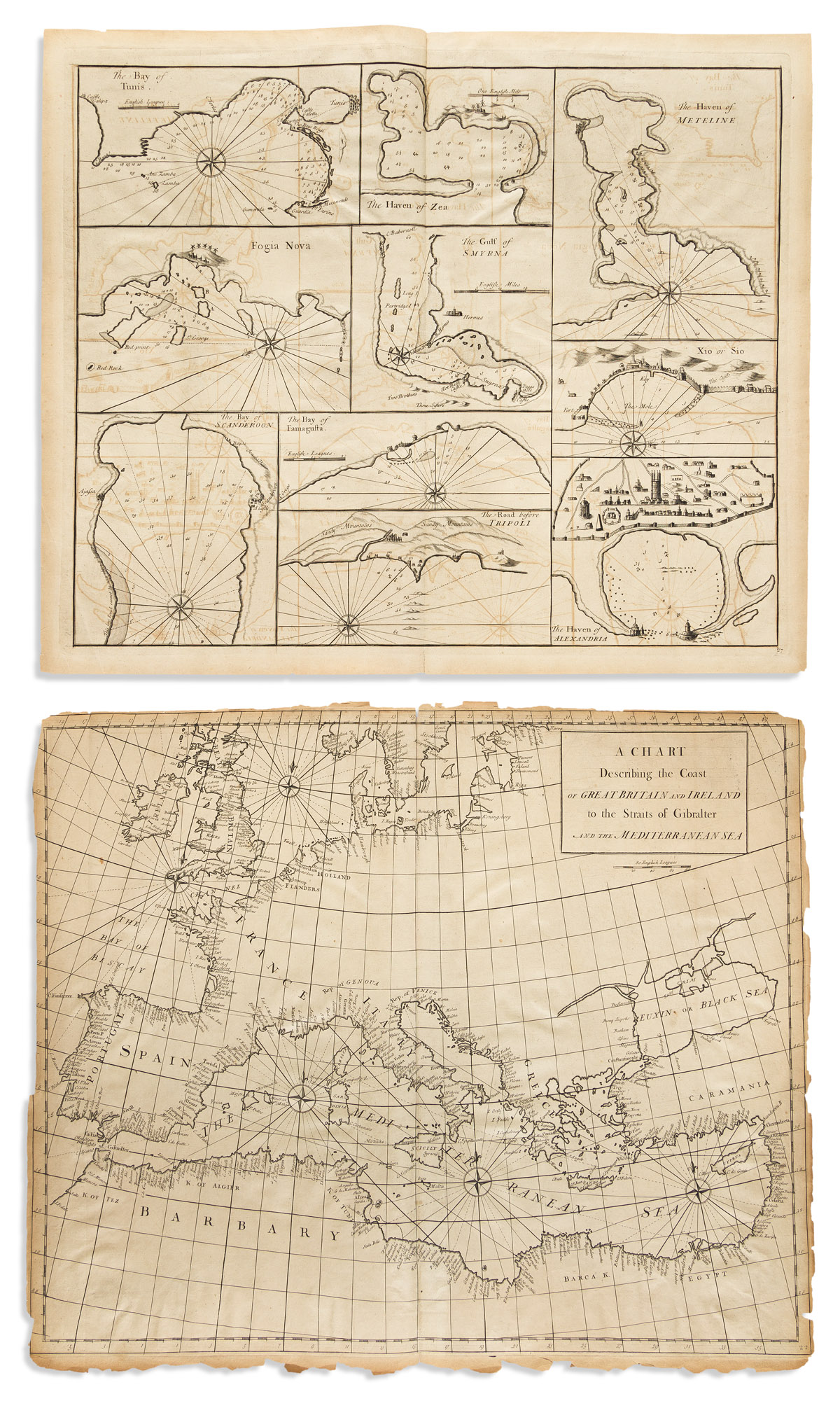
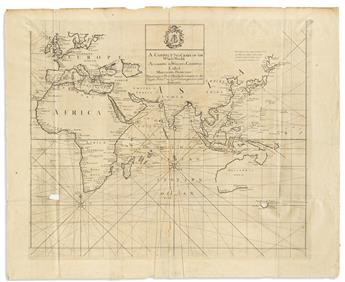
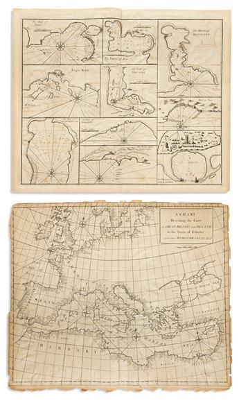
(CHARTS -- 18TH CENTURY.) Edmund Halley, John Senex, et al. Group of 4 engraved double-page or folding charts, from Atlas Maritimus & Commercialis. London, 1728
- A Correct Sea Chart of the Whole World, According to Wright's, Commonly Called Mercator's Projection (Eastern half only). 2 sheets joined, 26 1/2x32 1/2 inches overall; repairs to verso, small loss at lower left.
- A New and Correct Chart of the Mediterranean Sea. 2 sheets joined, 20 1/2x48 inches overall; top edge shaved to neatline, various folds, tears, and small paper losses.
- A Chart Describing the Coast of Great Britain and Ireland to the Straits of Gibralter and the Mediterranean Sea. 20 1/2x24 1/2 inches sheet size; margins brittle and chipped with slight loss to neatline and latitude bar at left.
- [10 inset plans of Mediterranean ports]. The Bay of Tunis, The Haven of Zea, The Haven of Meteline, Fogia Nova, The Gulf of Smyrna, Xio or Sio, The Bay of Scanderoon, The Bay of Famagusta, The Road before Tripoli, The Haven of Alexandria. 20x24 inches sheet size; minor edge wear and light offsetting.