?Final Price Realized includes Buyer’s Premium added to Hammer Price
Estimate: $ 400 - $ 600
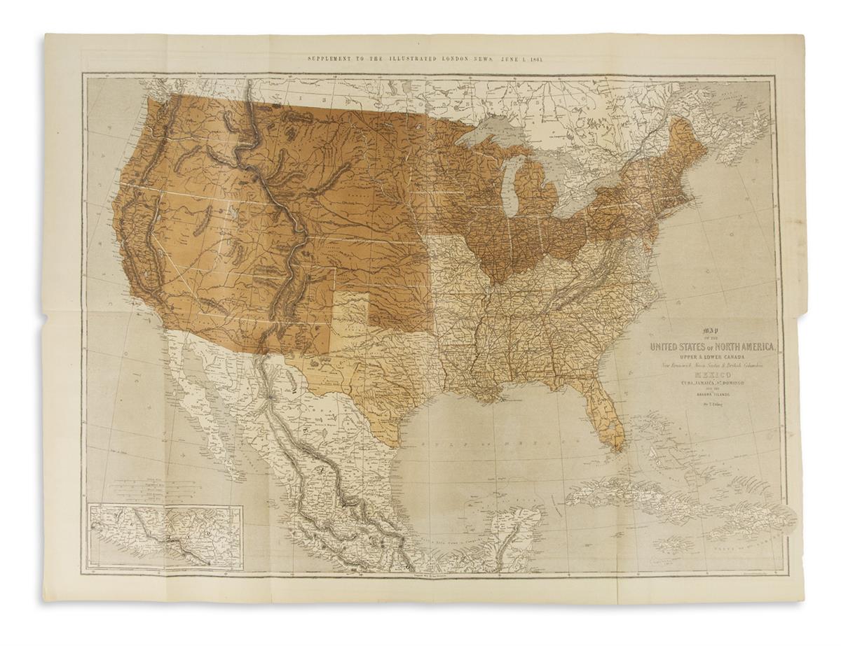
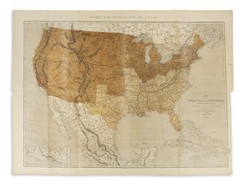
(CIVIL WAR.) Ettling, Theodor. Map of the United States of North America. Large color-printed lithographed map of North America demarcating the Union and Confederate States at the onset of the American Civil War. 29x40 inches sheet size, wide margins; original folds with occasional strengthening to verso, few short edge closures, right margin partially trimmed (ie for binding). London: Illustrated London News, June 1, 1861
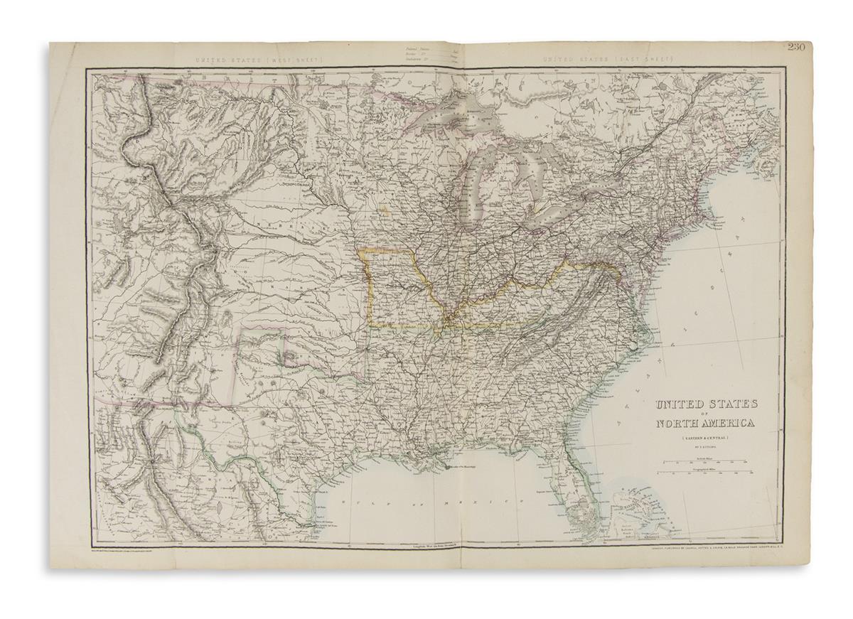
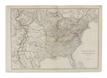
together with: Ettling, Theodor.United States of North America (Eastern & Central). Double-page lithographed map of Civil War-period United States. 18 1/2x27 inches sheet size, wide margins; original hand-color in outline; center fold partly repaired. London: Cassell, Petter & Galpin (The Weekly Dispatch Atlas), 1863.