?Final Price Realized includes Buyer’s Premium added to Hammer Price
Estimate: $ 1,000 - $ 1,500
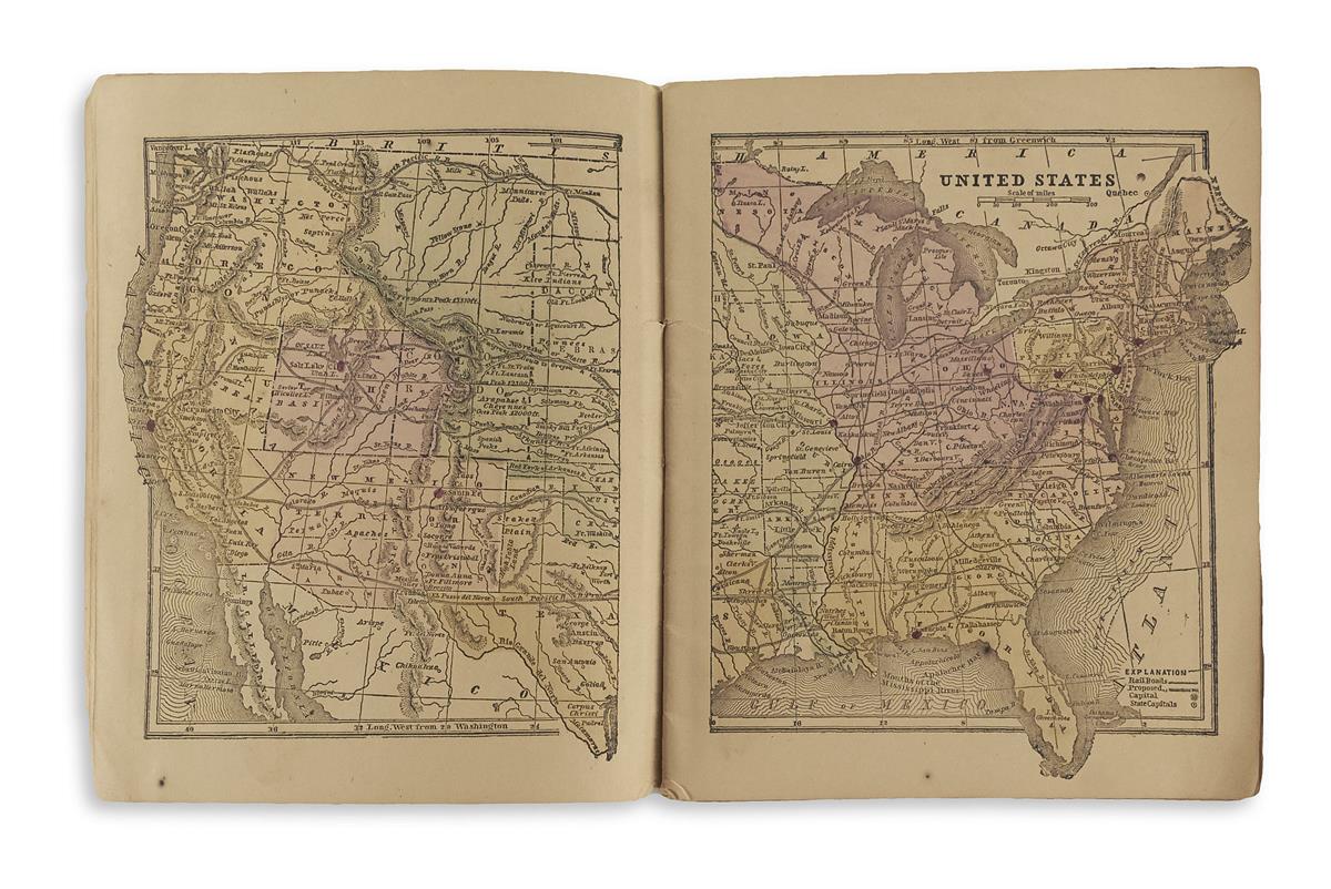
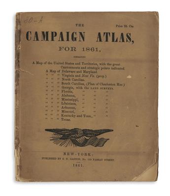
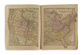
(CIVIL WAR.) Gaston, Samuel N. The Campaign Atlas for 1861. Title-page with American eagle emblem, 14 hand-colored cerograph maps (1 double-page). 8vo format, 7 1/4x6 inches, saddle-stitched, publisher's printed wrappers identical to the title, small areas of chipping but generally good; minor pencil marginalia. New York: S.N. Gaston, 1861
Rare pocket-sized atlas focusing on the secessionist or slave-holding states at the outset of the American Civil War. The initial double-page map of the United States and Territories is indicated with "great cantonments and strategic points" marked with a hand-colored red dot. These points include New York, Philadelphia, Pittsburgh, Baltimore, Washington DC, Norfolk, Pensacola, Cairo, St. Louis, Santa Fe, Salt Lake City and San Francisco. Individual maps of the Confederate and Border States follow: Delaware/Maryland, Virginia, North Carolina, South Carolina, Georgia, Florida, Mississippi, Alabama, Louisiana, Arkansas, Missouri, Kentucky/Tennessee, and Texas. OCLC locates 5 copies, and no examples found in sales database records. Phillips, Atlases 1351; Stevenson Civil War Maps (1989) 12.2.