Dec 09, 2021 - Sale 2591

Sale 2591 - Lot 49

Price Realized: $ 938
?Final Price Realized includes Buyer’s Premium added to Hammer Price
Estimate: $ 1,200 - $ 1,800
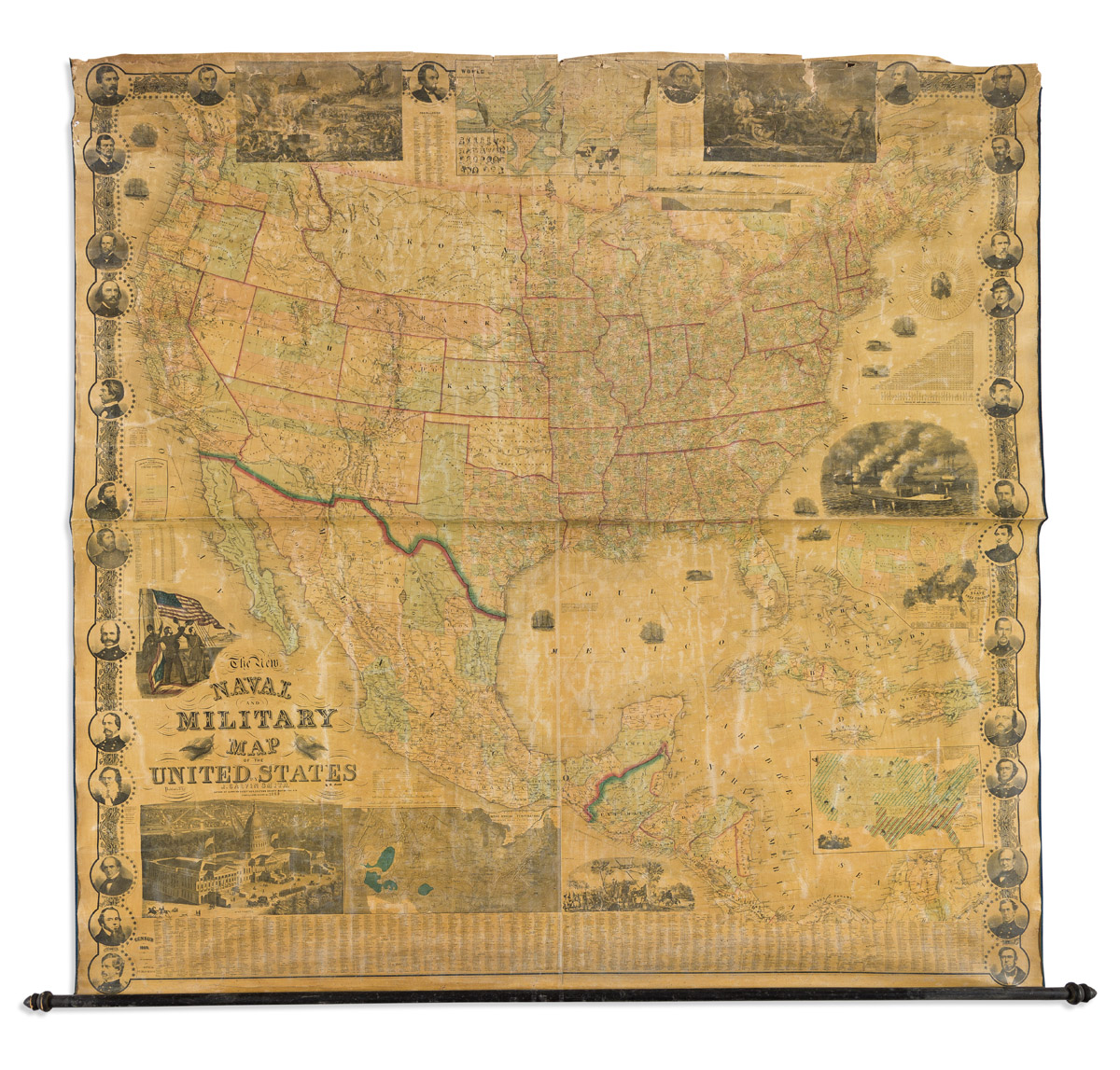
(CIVIL WAR.) J. Calvin Smith. The New Naval and Military Map of the United States. Large hand-colored engraved wall map on 4 sheets joined. 68x69 inches overall; original linen backing with blue silk selvage, lower wooden roller only; varnish a little yellowed, upper edge with damages partly stabilized but in need of proper restoration. Philadelphia, 1863

Additional Details

Large patriotic map of Civil War-era North America within a decorative border of stars, vines, and 30 medallion portraits including Abraham Lincoln, other political leaders, and major Union military figures. The eastern geography of the United States is standard for the period, though further west we find several regions on the cusp of border change at the time of this publication: a wide New Mexico and Arizona Territory (becoming the familiarly-shaped separate territories in 1863); Nevada without its southern tip; one large Dakota Territory; a large cascading Washington Territory, but no Idaho Territory (1863), Montana (1864), or Wyoming (1868).

Insets of nationalistic scenes include flag bearers giving the response of the Army and Navy, an allegorical "Rescue of the Union", Battle of Bunker Hill, a panoramic view of Washington, DC, the battle of ironclads Monitor and Merrimac; inset statistical maps show annual rainfall and temperature, distribution of plants, trees, and animals, distribution of slave and free colored populations, along with other tables, profiles and charts.