Jun 23, 2022 - Sale 2610

Sale 2610 - Lot 54

Price Realized: $ 2,000
?Final Price Realized includes Buyer’s Premium added to Hammer Price
Estimate: $ 300 - $ 400
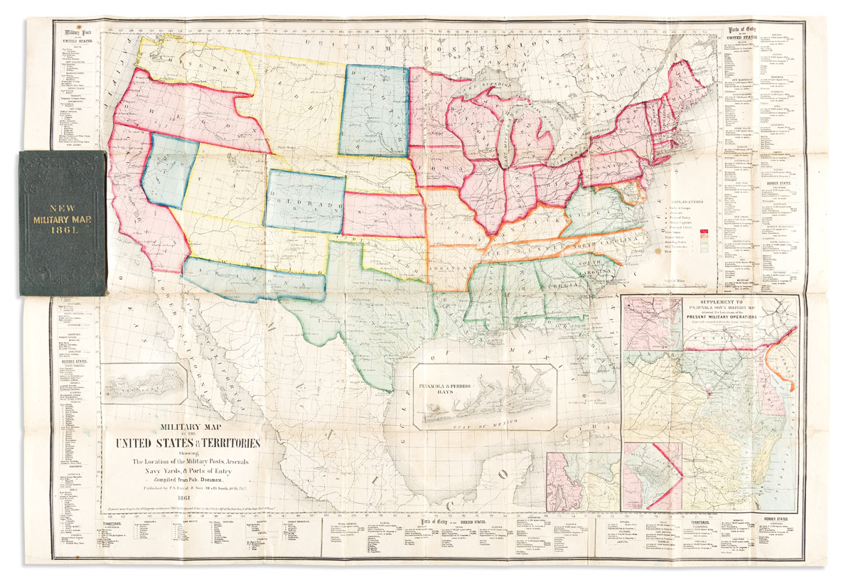
(CIVIL WAR.) P.S. Duval & Son. Military Map of the United States & Territories Showing the Location of the Military Posts, Arsenals, Navy Yards, & Ports of Entry. Hand-colored lithographed pocket map delineating free states, border states, seceding states, old territories, and new territories by color with detailed listings of military posts and ports of entry by state in the border panels. 24x35 inches overall, folding into 8vo format gilt-blocked cloth case; minor staining, fold versos reinforced or repaired in places. Philadelphia, 1861

Additional Details

In addition to the early Civil War geographic and strategic information related, "This [map] is interesting for it must be one of the first to show the three new territories, Colorado (formed Feb. 28, 1861) and Dakota and Nevada (formed March 2, 1861). It gives the old boundaries of Oregon and Washington territories, as they were before the admission of Oregon as a state on February 14, 1859" - TWS. Streeter 3910; Stephenson 10.