?Final Price Realized includes Buyer’s Premium added to Hammer Price
Estimate: $ 800 - $ 1,200
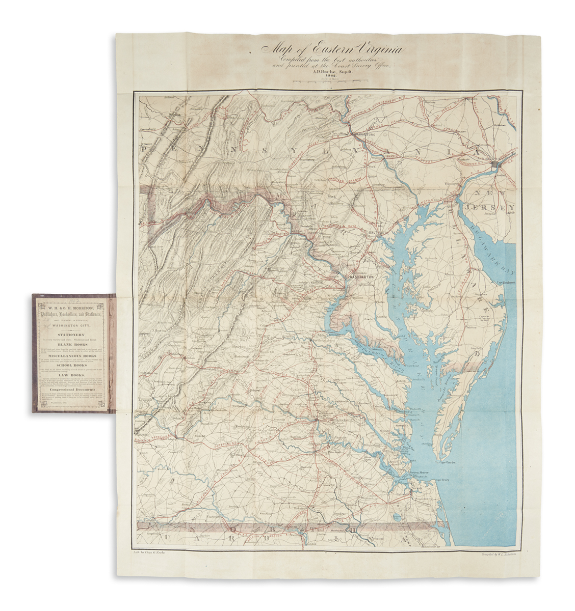
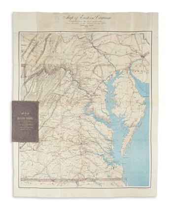
(CIVIL WAR.) U.S. Coast Survey; Nicholson, Walter L. (compiler.) Map of Eastern Virginia. Large chromolithographed pocket map of Virginia from the Chesapeake Bay to Lexington. 26x20 1/4 inches sheet size, wide margins; folding into original gilt stamped cloth case; minor marginal browning. Washington, DC, 1862
Civil War period map overprinted in red indicating all railroads and concentric circles at ten mile intervals radiating from Richmond, the heart of the Confederacy. A contemporary account of the map from the author: "In addition to the printing of our charts proper, a map representing the seat of war in Virginia was, at the suggestion of the Superintendent, compiled by myself during the past year, and printed in colors, partly as an experiment in that class of work, and partly to meet the popular demand for information on the movements of our armies. This map has met with unexpected success, and has been much called for, and copies quite freely distributed; but, in order to cover the expenses of its getting up and printing, a number of copies have been placed in the hands of our sale agents, the proceeds of which have more than covered expenses; in all, some five thousand five hundred copies have been printed, over twenty-five hundred sold, and nearly three thousand copies gratuitously distributed." (Report of the Superintendent of the Coast Survey, Government Printing Office, 1864, p. 151). This nicely surviving example bears the advertisement of one such agent, W.H. & O.H. Morrison, pasted down inside the front case cover.