Dec 08, 2022 - Sale 2624

Sale 2624 - Lot 56

Price Realized: $ 1,062
?Final Price Realized includes Buyer’s Premium added to Hammer Price
Estimate: $ 500 - $ 750
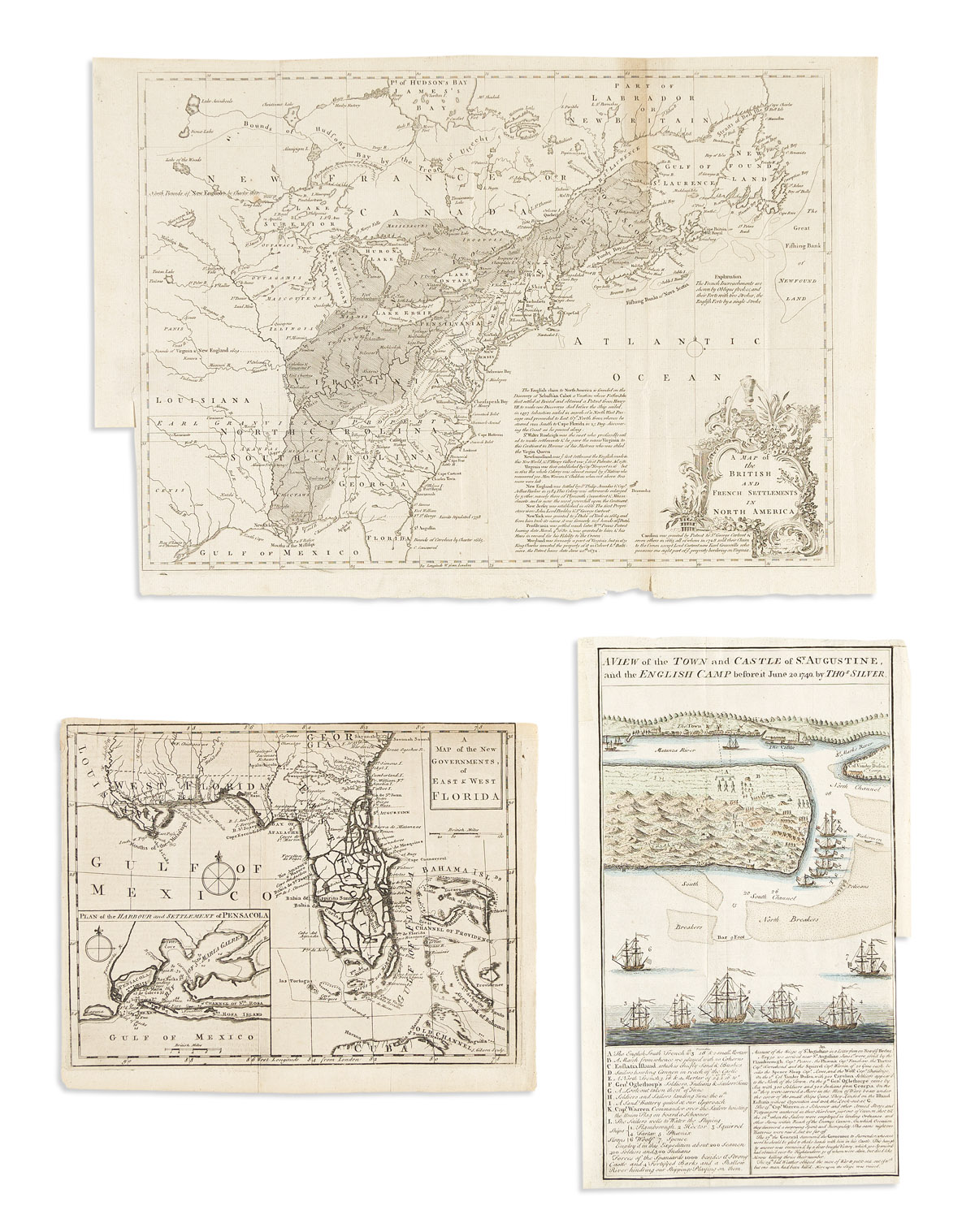
(COLONIAL NORTH AMERICA.) Group of 3 engraved maps from eighteenth-century British periodicals. London, vd

Additional Details

- John Lodge. A Map of the British and French Settlements in North America. Engraved folding map of political claims in North America at the outset of the French and Indian War. 12x17 inches sheet size, wide margins, left edge trimmed for binding; small bit of age discoloration, else fine. London: Universal Magazine, 1755.

- John Gibson. A Map of the New Government of East & West Florida. Engraved folding map of Florida and the Bahamas with an inset of Pensacola Harbor. 8 1/4x10 1/2 inches sheet size, upper margin shaved to the neatline; minor offset but very nice. London: Gentleman's Magazine, 1763.

- Thomas Silver. A View of the Town and Castle of St. Augustine, and the English Camp Before it, June 20, 1740. Hand-colored engraved folding plan of St. Augustine, Florida, with a keyed legend and text panel below. 12 1/4x7 1/4 inches sheet size, ample margins, trimmed at lower right for binding; overall fine. London: Gentleman's Magazine, 1740.