?Final Price Realized includes Buyer’s Premium added to Hammer Price
Estimate: $ 5,000 - $ 7,000
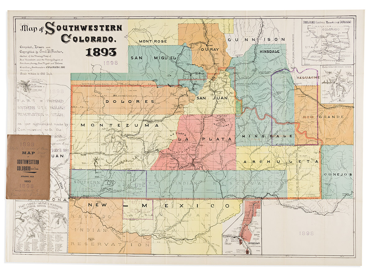
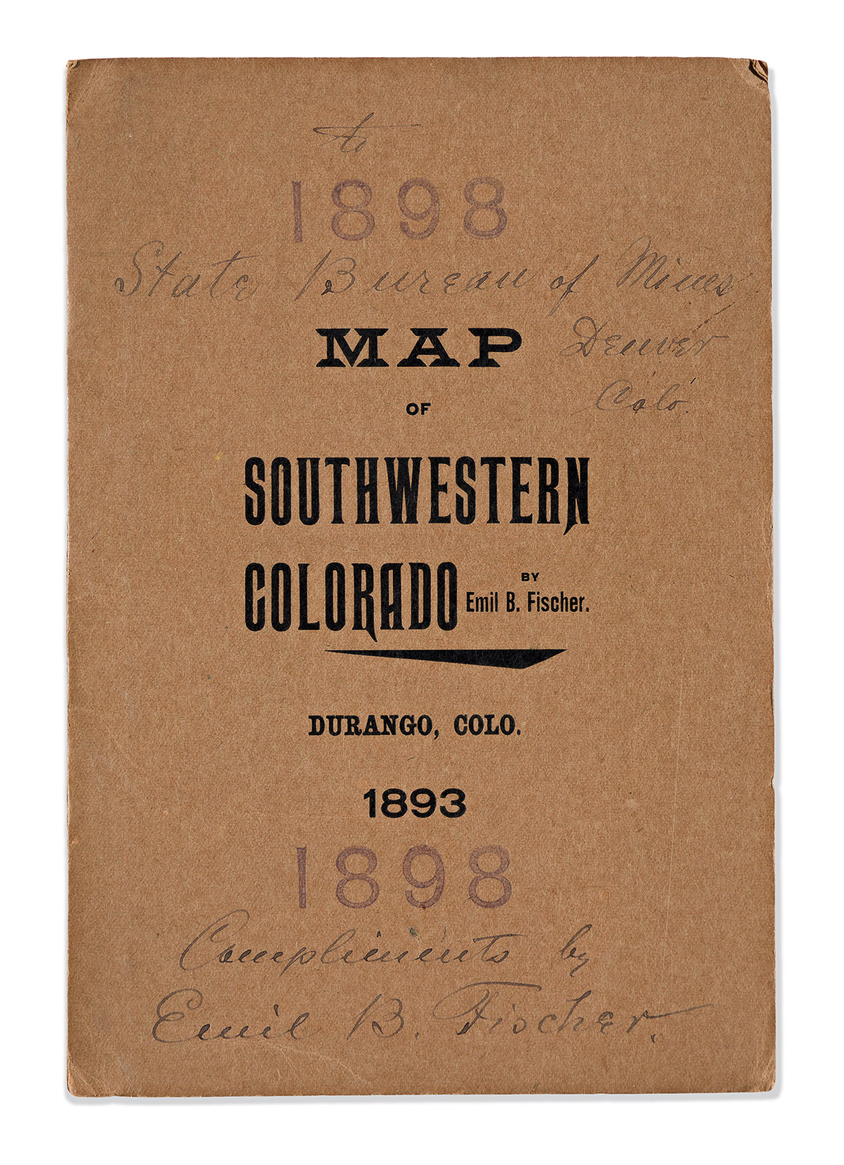
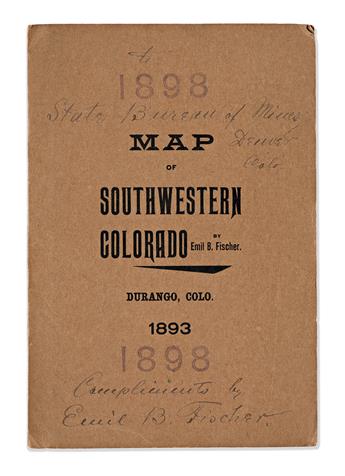
(COLORADO -- MINING.) Emil B. Fischer. Map of Southwestern Colorado. Large color-lithographed folding map of the southwestern quadrant of Colorado. 33x45 1/2 inches sheet size, wide margins; period additions of outline hand-color and ink printing; extremely fine, folding into original 8vo format printed card wrappers, inscribed on the front cover "To State Bureau of Mines, Denver, Colo. Compliments by Emil B. Fischer". Durango(?), CO, 1893
An outstanding presentation copy of an essential map by Colorado's premier independent nineteenth-century cartographer.
With his meticulously detailed topography providing a genuine sense of accuracy to the region, it is easy to appreciate how Emil Fischer's maps were so desirable and indispensable to users in the initial days of their publication. Mining was a primary interest in Fischer's maps, and here he focuses on the area surrounding Durango and Silverton in the mountains of southwestern Colorado. Several insets showing existing mines and proximity to potential new opportunities include: Railroad Systems Reaching Durango; Plat of Needle Mountain Mines; a Plan of Durango; Plat of Mines at La Plata Mountains, California Mining District; and Plat of San Juan Co., Utah.
The map is annotated with repeated occurrences of an ink-stamped "1898" at several places and two instances of geographical updates: a hand-drawn outline at the lower left stamped "Ute Reserv." (i.e., Ute Mountain Reservation), and at the upper right another hand-drawn ink outline carving out Mineral County from parts of Hinsdale, Rio Grande, and Saguache Counties.