?Final Price Realized includes Buyer’s Premium added to Hammer Price
Estimate: $ 400 - $ 600
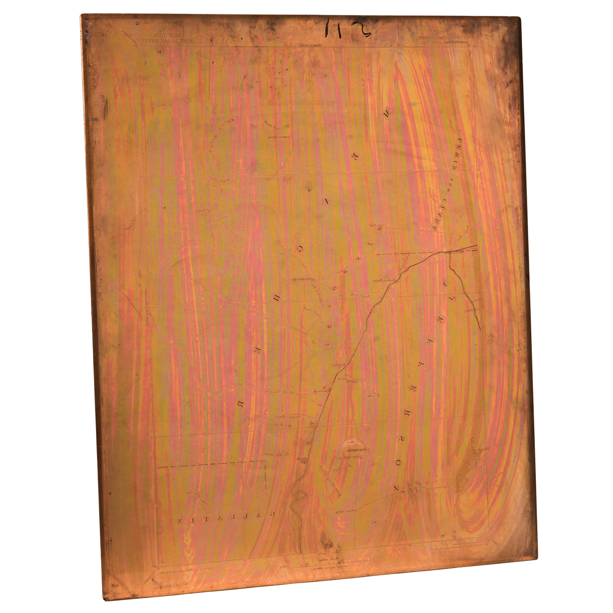
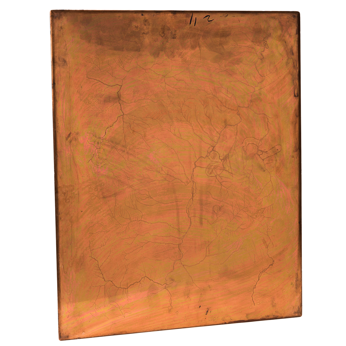
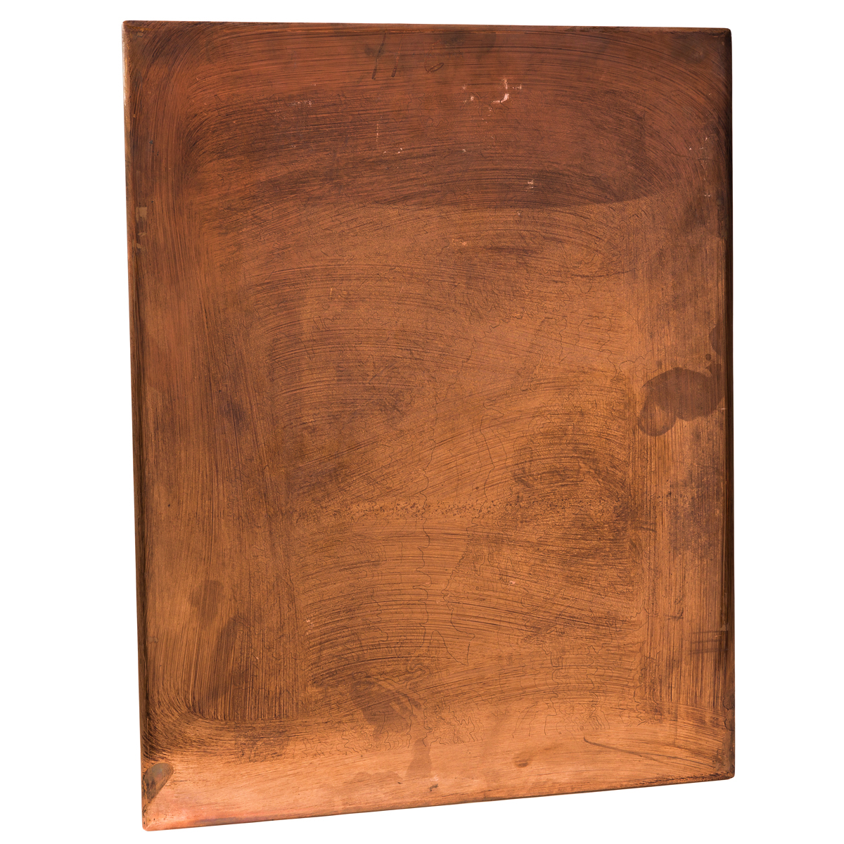
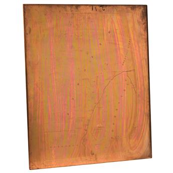
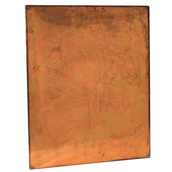
(COPPERPLATES.) United States Geological Survey. Montana - Fort Logan Sheet. Three engraved copperplate printing matrices. 21x17 inches or smaller; approximately 30 pounds together; minor wear, topographic plate with printer's ink not entirely wiped clean after final pressing (likely removable if desired). Washington, D.C., 1886 (1914)
Complete set of USGS printing plates for an approximate 50-mile stretch of the Missouri River in central Montana. Of note for what is not shown on the map, this area is the site of modern-day Canyon Ferry Lake, a dam-created reservoir completed in the 1950s.
Plate 1 - initial layout, toponyms, title and imprint; Plate 2 - rivers and drainage; Plate 3 topographical features.