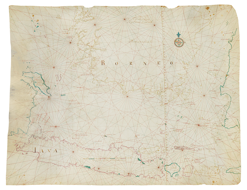
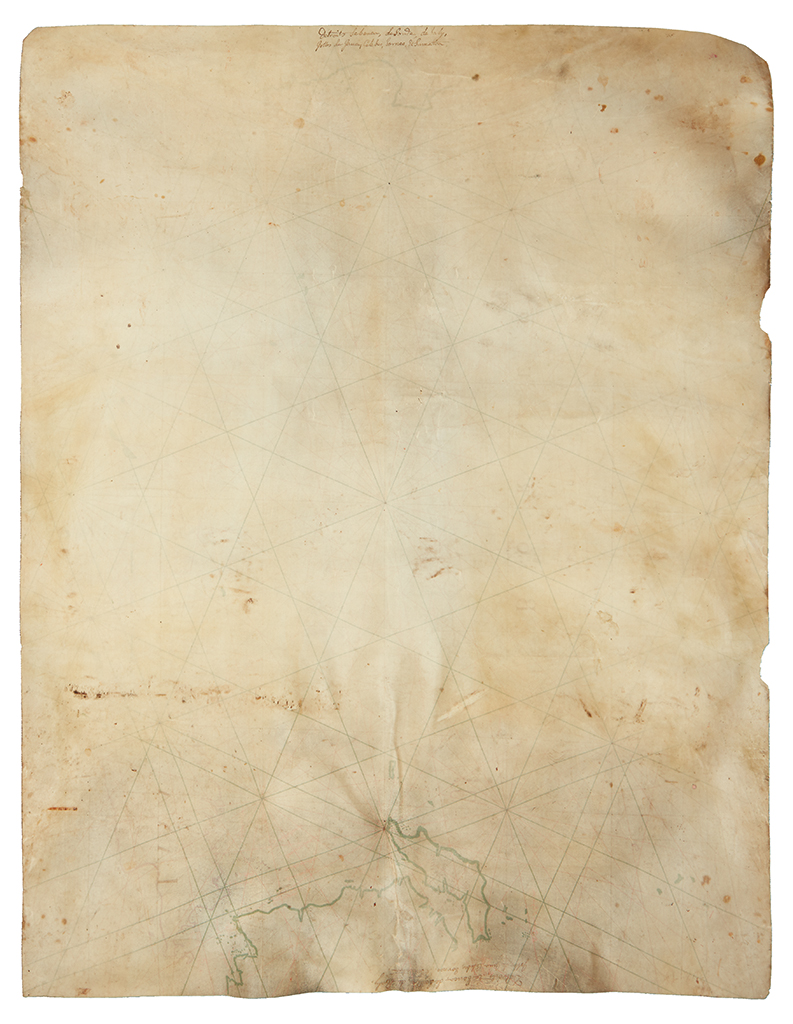
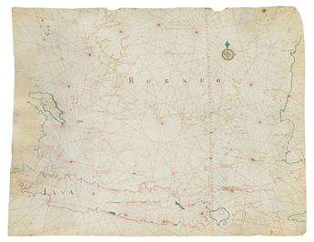
(DUTCH EAST INDIA COMPANY--JAVA SEA.) Graaf, Isaak de. A fine manuscript map of Java, the Java Sea, Bali,and parts of Borneo, Sumatra, and Sulawesi. Ink and watercolor on vellum. 30x39 inches (760x990 mm); very good condition. Amsterdam, [circa 1743]
EXTREMELY SCARCE. Superb manuscript map on vellum showing the closely held trading routes and ports in the Dutch East India Company colonies that now form Indonesia. This chart is an exceptional artifact from the greatest early Asia trade concern, the Dutch East India Company, or VOC. It is a cornerstone map for collectors of Indonesia, the history of commerce or the spice trade, and for the Dutch Golden Age.
Prof. Gunther Schilder has located only five extant similar Java Sea charts by Isaak de Graaf. According to our records, no VOC manuscript charts of this caliber and type have appeared at auction since the early 1990s.
The area depicted constitutes what is now a large part of Indonesia and is roughly bounded by the 2nd parallel north, 9th parallel south, 104 degrees east longitude, and 120 degrees east longitude. In this way the map demonstrates the particular focus of Dutch navigation out Batavia (now Jakarta) and the areas that would have immediately fed into that central port.
Isaak de Graaf (1668-1743) was the official cartographer of the VOC during the first half of the 18th century. His instructions for this role were to "… correct, improve and amplify the charts for the fleet so that the ships, in service both outward- and homeward-bound and in the Indies, might have the best indications, and sail the safest routes so that their voyages may prosper and come to safe completion." To this end the map includes coastal profiles, reef delineations, and extensive soundings. It was almost certainly used aboard a ship engaged in trade out of Batavia.
Kok and Schilder derived the approximate date of this map based on the fact that it includes additional islands not described in another similar chart dated 1742 (see 7.17 in Sailing for the East). The 1743 date would make it one of the last charts produced by de Graaf, who died in September of that year.
Provenance: Private Dutch collection; Pierre Joppen, Paulus Swaen, Ltd.; Dean Cycon.
Kok & Schilder, Sailing for the East: History Catalogue of Manuscript Charts on Vellum of the Dutch East India Company (VOC) 1602-1799, map 7.18 (this example).