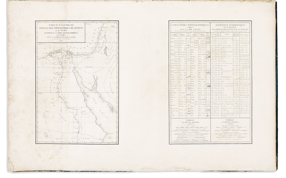
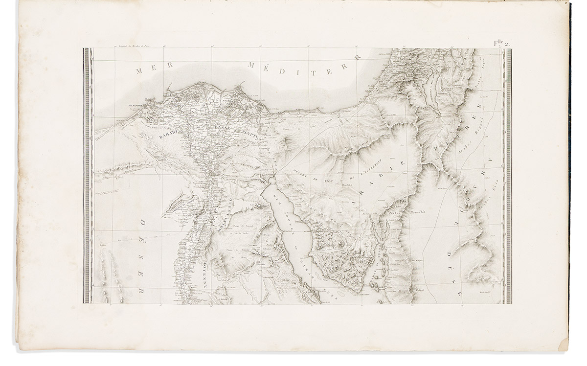
(EGYPT.) Pierre Jacotin; and the French Dépôt de la Guerre. Carte Topographique de l' Egypteet de Plusieurs Parties des Pays Limitrophes; Levee Pendant l' Expedition de l' Armee Francaise. [Atlas volume to Description de L'Egypte]. Engraved title-page, assemblage map, topographic key table in French and Arabic, 3-sheet regional index map, and 47 detailed engraved mapsheets. Double elephant folio, 42x27 inches, with maps bound en plano and unfolded, original battered boards with remnants of blue marbled papering and cloth spine; dampstain and scattered edge tears. [Paris: C.L.F. Panckoucke, 1826]