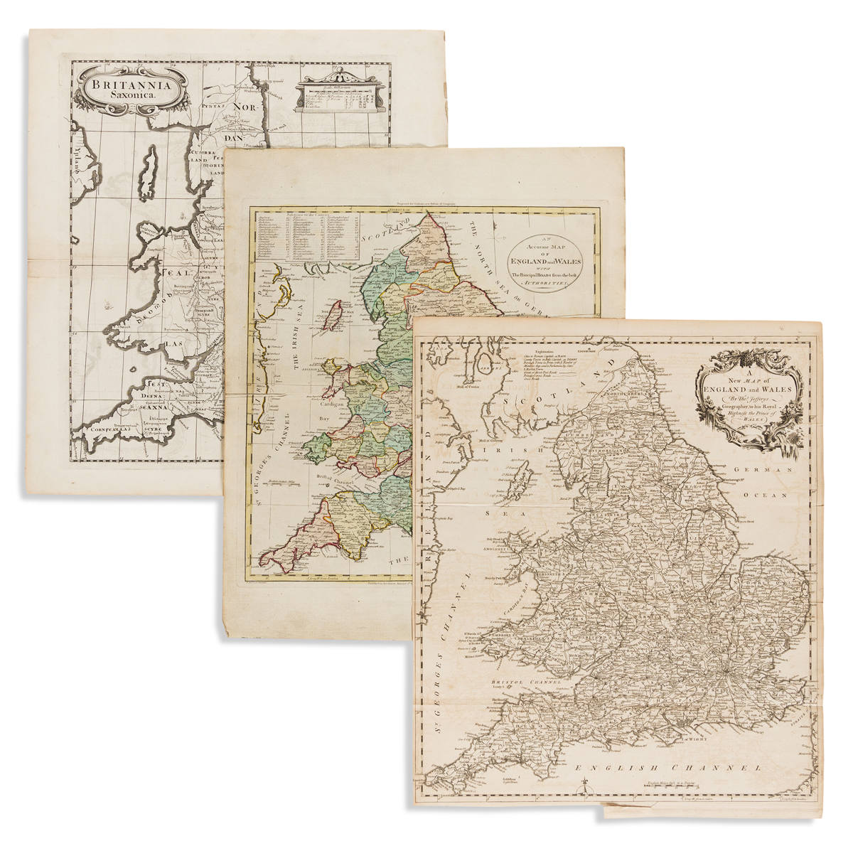
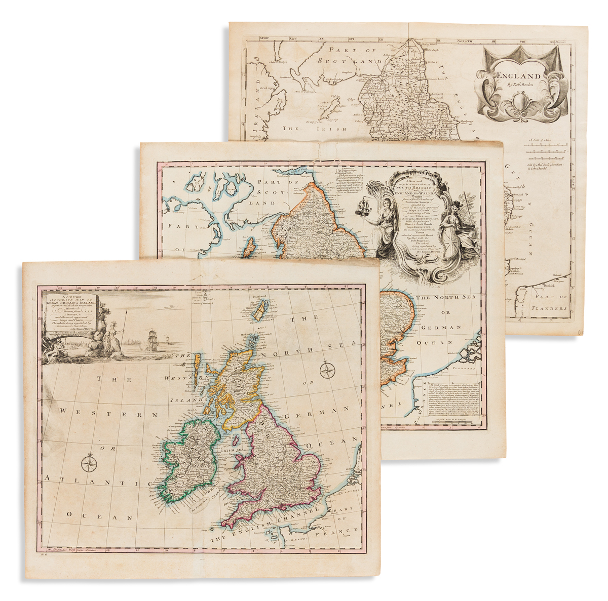
Jefferys, Thomas. A New Map of England and Wales. 18x15 inches sheet size; original folds and binding trim at lower margin, light offsetting; London, circa 1760. Morden, Robert. England. 15 1/2x17 3/4 inches sheet size; light offsetting else fine; London, 1695. Morden, Robert. Britannia Saxonica. 17x15 1/2 inches sheet size; light offsetting, paper crinkle at right margin; London, 1722. Bowen, Emanuel. A New and Accurate Map of Great Britain & Ireland, Together with Their Respective Islands &c. 16x17 3/4 inches sheet size; hand-colored in outline; very light foxing, small worm repair at upper margin; London, 1744. Bowen, Emanuel. A New and Very Accurate Map of South Britain or England and Wales. 16x18 1/4 inches sheet size; hand-colored in outline; small worm repair at upper margin; London, 1744. Darton, William (engraver). An Accurate Map of England and Wales with the Principal Roads. 18x14 1/2 inches sheet size; original hand-color; small separation at fold; London: Dilly & Robinson, 1785.