Dec 07, 2023 - Sale 2655

Sale 2655 - Lot 64

Price Realized: $ 975
?Final Price Realized includes Buyer’s Premium added to Hammer Price
Estimate: $ 500 - $ 750
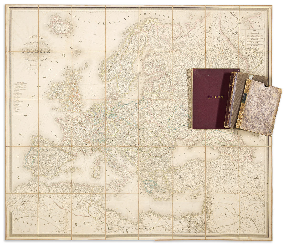
(EUROPE.) Group of 3 oversize nineteenth-and-early-twentieth-century hand-colored engraved or lithographed case maps. Individual photographs on request. Vp, vd

Additional Details

- Eugene Andriveau-Goujon. Carte Physique et Politique de L'Europe. 46x52 inches overall, segmented, mounted on original linen backing and folding into original weathered marbled-paper slipcase; minor wear. Paris, 1859.

- James Wyld. Europe Describing all the Changes of Territory, Together with Their Deviations in the Boundary Lines of its Several Empires and States Agreed to and Confirmed by the Definitive Treaty of Paris. 61 1/2x64 inches overall, segmented, mounted on original linen backing with Wyld's printed paper advertisement pasted to verso along with a miniature chart of the world by the firm, and folding into original morocco-backed cloth slipcase; toning, moderate wear. London, 1842.

- Edward Stanford. Stanford's Library Map of Europe. 58x65 inches overall, segmented, mounted on original linen backing and folding into gilt-blocked cloth covers; moderate toning. London, 1910.