Jun 07, 2018 - Sale 2481

Sale 2481 - Lot 72

Price Realized: $ 1,500
?Final Price Realized includes Buyer’s Premium added to Hammer Price
Estimate: $ 1,000 - $ 1,500
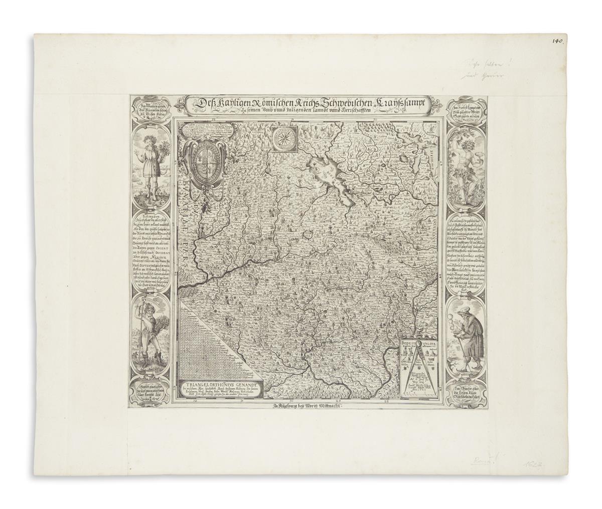
(GERMANY.) Mannasser, Daniel. Hayligen Römischen Reichs Schwebischen Krayss Sampt Seinen Umb unnd Inligenden Lanndt unnd Herrschaften. Engraved map of Swabia. 15x16 3/4 inches plate size; trimmed to platemark and inlaid to larger margins of laid paper for inclusion in an early composite atlas. Augsburg: Mortiz Mittnacht, 1623

Additional Details

Beautifully engraved map of the territory of Swabia centered on Ulm and the Danube River published during the thick of the Thirty Years' War. The map is oriented with north to the south and the Bodensee above the river. The dense cartography, rich engraving and decorative representations of the four seasons in each corner create an outstanding success of a printed map. Quite rare, with OCLC locating three examples in European institutions.