Jun 07, 2017 - Sale 2450

Sale 2450 - Lot 70

Price Realized: $ 1,950
?Final Price Realized includes Buyer’s Premium added to Hammer Price
Estimate: $ 700 - $ 1,000
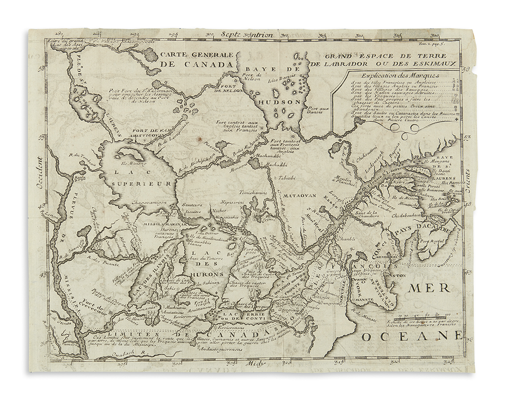
(GREAT LAKES.) Baron de Lahontan, Louis Armand. Carte Generale de Canada. Engraved folding map of Canada and the Great Lakes region from Lahontan's Nouveaux Voyages. 9 3/4x12 1/2 inches sheet size; offsetting, faint staining at upper margin. Paris, 1703

Additional Details

"The map can hardly be called a definitive map in terms of the developing cartography, but nevertheless, it is the first map of Canada that was generally available to the public, and was one that defined, at least for the southern and eastern parts of the country, the fur trading routes". Kershaw 291.