Jun 06, 2019 - Sale 2512

Sale 2512 - Lot 83

Price Realized: $ 11,875
?Final Price Realized includes Buyer’s Premium added to Hammer Price
Estimate: $ 6,000 - $ 9,000
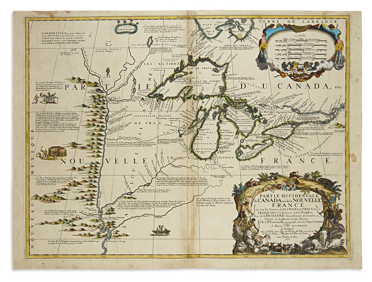
(GREAT LAKES.) Coronelli, Vincenzo Maria; and Nolin, Jean Baptiste. Partie Occidentale du Canada ou de la Nouvelle France. Double-page engraved map of the Great Lakes and upper Mississippi River. 18 1/2x25 inches sheet size, ample margins; original outline hand-color with later additions; light staining, large flattened printer's crease, other small repairs. Paris, 1688

Additional Details

"The first printed map devoted to the Great Lakes and upper Mississippi region" (Burden). This separate publication compiles in one place for the first time the important discoveries of contemporary French explorers including Jolliet, Marquette, Hennepin and La Salle. The map bears the first appearance of many important toponyms, notably the first use of the name Chicago on a printed map (Chekagou), and it remained the standard of regional cartography for the ensuing fifty years. This is the second state (of 4), the first of which survives in just a single known example. Burden 630.