Dec 08, 2022 - Sale 2624

Sale 2624 - Lot 62

Price Realized: $ 8,125
?Final Price Realized includes Buyer’s Premium added to Hammer Price
Estimate: $ 3,000 - $ 5,000
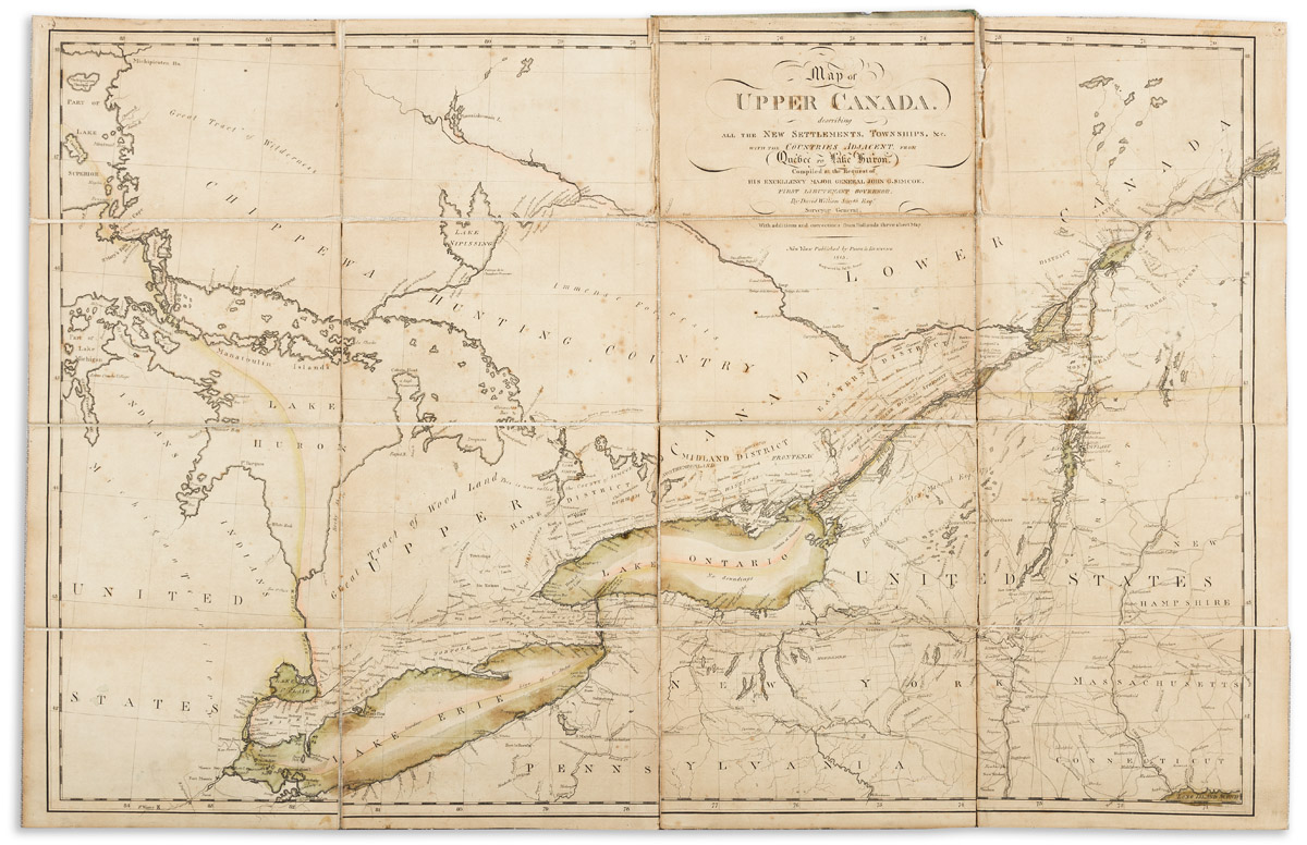
(GREAT LAKES.) David William Smyth, Surveyor General. Map of Upper Canada, Describing All the New Settlements, Townships, &c. with the Countries Adjacent from Quebec to Lake Huron. Large engraved map of southern Ontario Province on the Canadian side and New York, Vermont, and parts of New Hampshire, Massachusetts, Connecticut, Pennsylvania, and Michigan Territory on the American side. 22 1/4x34 3/4 inches overall, segmented and mounted to original linen and folding into publisher's 8vo format roan-backed marbled paper case with printed paper label pasted to upper cover; original hand-color to the lakes and international boundary lines; front board detached but present, light foxing, toning, and small chips at several folds but no major damages. New York: Prior & Dunning, 1813

Additional Details

Scarce early American issue of D.W. Smyth's Map of the Province of Upper Canada, first published in London by William Faden in 1800. "This map ushered in the standard format of maps of Ontario which appeared in profusion in the 19th century" (Kershaw). New York publishers Prior & Dunning issued "A Gazetteer of the Province of Upper Canada" in 1813… Sabin connects that publication with "a separate folded map in board covers on which is pasted a printed slip". This American edition of the map not seen at auction in over 100 years.

Phillips, Maps, page 195; Karpinski 17; Sabin 85204; Kershaw III, 1000.