Jun 05, 2008 - Sale 2148

Sale 2148 - Lot 211

Price Realized: $ 1,200
?Final Price Realized includes Buyer’s Premium added to Hammer Price
Estimate: $ 1,500 - $ 2,500
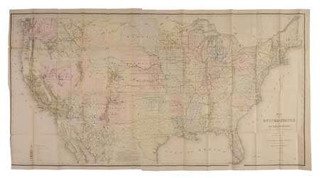
(IMMIGRATION.) Rapport från General Land-Kontoret för År 1867. Hand-colored map measuring 760 x 1440 mm, with few minor separations at intersecting folds. 8vo, publisher's cloth gilt, backstrip faded; minor foxing, map detached; bookplate of Carl Trolle Bonde on front pastedown. Washington, 1869; map dated 1867

Additional Details

Issued by the United States government to attract Swedish immigrants to the country. Accompanied by the important "Map of the United States and Territories" issued by the General Land Office, 15 October 1867, lithographed by Bowen & Co. of Philadelphia. The location of gold and other mining areas is noted, as well as the outlines of public surveys, marking out the survey areas for Idaho and Arizona for the first time. "Flags mark the progress of the three transcontinental railroads"--Wheat TMW 1168.