May 29 at 12:00 PM - Sale 2706 -

Sale 2706 - Lot 119

Estimate: $ 800 - $ 1,200
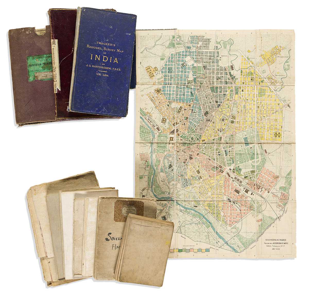
(INTERNATIONAL.) Group of 12 nineteenth-and-early-twentieth-century case maps. Vp, vd

Additional Details

- G.P.H. Zimmermann. Kaart van de Rivier de Suriname. Lithograph with printed color. 41x26 inches overall, segmented and mounted on original linen backing to fold; moderate wear. Amsterdam, 1877.

- John Arrowsmith. Southern Portion of the Crimea, from the Surveys Made by the Order of the Russian Government. Lithograph with original hand-color in outline. 25x32½ inches overall, segmented and mounted on original linen backing to fold; very clean. London, 1854.

- Noticiero Guia de Madrid. Guia Nueva de Madrid. Chromolithographed city plan. 23x16¼ inches overall, segmented, mounted on original linen backing, and folding into later plain cloth covers; light wear. Madrid, 1902.

- Pierre Tardieu. Theatre de la Guerre Carte de la Turquie d'Europe et d'Asie. Hand-colored lithograph. 22x31½ inches overall, segmented and mounted on original linen backing to fold; light wear. Paris, 1854.

- U. Hendschel. Carl Jugel's Post u Reise Karte von Deutschland. Engraving with original hand-color in outline. 43x49½ inches overall, segmented and mounted on original linen backing to fold; light wear. Frankfurt, circa 1850.

- William Faden, and Louis Stanislas D'Arcy Delarochette. Colombia Prima or South America Drawn from the Large Map in Eight Sheets. Engraving with original hand-color in full. 44x31 inches overall, segmented and mounted on original linen backing to fold; moderate wear and toning. London, 1811.

- D. Tomas Lopez. Mapa de la Provincia de Toledo. Engraved map with original hand-color in outline. 15¾x16¼ inches overall, segmented and mounted on original linen backing to fold; light stains. Madrid, 1768.

- William Faden. The Roads of Great Britain. Engraving with original hand-color in outline. 30x24¼ inches overall, segmented and mounted on original linen backing to fold; light offset and toning. London, 1790.

- P. Marie, and A. Bernard. Nouveau Plan de Paris Fortifie. Engraving with original hand-color in outline. 24x34½ inches overall, segmented and mounted on original linen backing to fold; stains, age tone. Paris, 1852.

- John Bartholomew & Co. Thacker's Reduced Survey Map of India. Color-printed map. 40x35½ inches overall, segmented, mounted on original linen backing, and folding into publisher's blue cloth case; spine lost, scattered abrasions and desiccated tape stains. Calcutta and London, 1914.

- Edward Stanford. The Danubian Principalities, Prepared from the Vienna Map in 21 Sheets. Large hand-colored lithograph in 2 sections, 27½x54½ inches each, segmented and mounted on original linen backing with marbled paper self-wrappers, folding into publisher's worn cloth case; maps fine. London, circa 1860.

- J. & C. Walker. England & Wales Founded Upon the Grand Trigonometrical Survey; Shewing all the Railways the Rivers & Navigable Canals, Also the Boundaries & Divisions of Counties, the Extent of Boroughs, Under the Reform Act, Together with the Sand Banks & Soundings Round the Coast. Large engraving with original hand-color in full. 53x41¾ inches overall, segmented, mounted on original linen backing and folding into publisher's roan case; minor wear. London, 1860.