Jun 03, 2014 - Sale 2352

Sale 2352 - Lot 74

Price Realized: $ 10,000
?Final Price Realized includes Buyer’s Premium added to Hammer Price
Estimate: $ 12,000 - $ 18,000
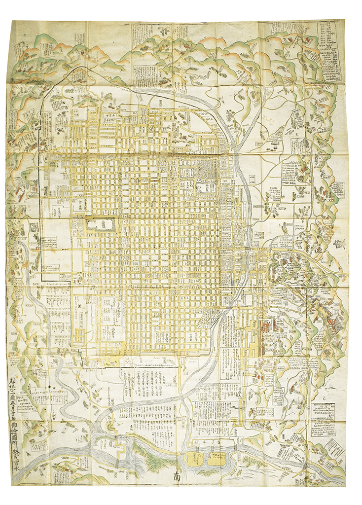
(JAPAN.) Hayashi Yoshinaga; publisher. A new map of Kyoto and its surroundings. (Shinsen Zouho Kyodaiezu.) Multi-sheet woodblock folding map of Kyoto as the imperial capital, 1600x1230 mm; old hand color, subtle verdigris oxidation; slight separations at several intersecting folds, else fine; modern Japanese-style cloth case. Kyoto: Hayashi Yoshinaga, [circa 1716-1736]

Additional Details

The city is shown in its strict symmetrical order with a central axis from the imperial palace to the Rasho-gate, including many entries on the origins and history of Buddhist temples and Shinto shrines (UNESCO world heritage sites, such as the very famous 'Golden Pavilion', the 'Enryaku-ji' and the 'Kiyomizu Temple'), the amount of vassal's stipends, and scenic and historical places. The map is of considerable interest since it shows the city at the height of its splendor and before the great fire of 1788 when 90% of the city was destroyed. There is a table giving the distances from the 'Sanjo Obashi' (bridge on the Kamo river) considered the starting point from which the distances to other cities were measured.

The map's date is based the known dates of the presence in the imperial capital of the Shogun's ambassador, whose name is inscribed on the map. The map contains numerous legends in Sino-Japanese characters.

Yamashita, Japanese Maps, page 132; Kazutaka Unno, History of Cartography, Book 2, Volume 2, page 346; Namba, Old maps of Japan, 68; cf. UC Berkeley, Japanese Historical Maps, (numerous editions).