Dec 05, 2017 - Sale 2464

Sale 2464 - Lot 105

Price Realized: $ 5,500
?Final Price Realized includes Buyer’s Premium added to Hammer Price
Estimate: $ 1,500 - $ 2,500
(JAPAN.) Yamazaki, Yoshinari. Kaisei Zoho Dochu Kotei Meisai. Extensive accordion-folding color-woodblock printed road map of Japan on 16 sheets joined. 7x313 inches overall (approximately 26 feet), folding into orange self-wrappers; printed paper title-label on upper cover worn; minor wear at folds, strong colors. Tokyo, Kaei 3 (1850)

Additional Details

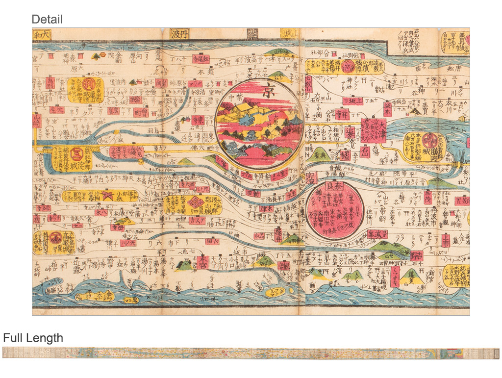
This wonderfully panoramic diagram depicts the roadways, waterways, cities, towns and topography of the entire island chain of Japan, notably including the important Tokaido Road which connected Edo (Tokyo) and Kyoto. From right to left it begins at Hokkaido and the disputed Northern Islands, extending to the Korean peninsula.

View Full Map