Jun 03, 2021 - Sale 2571

Sale 2571 - Lot 44

Unsold
Estimate: $ 1,200 - $ 1,800
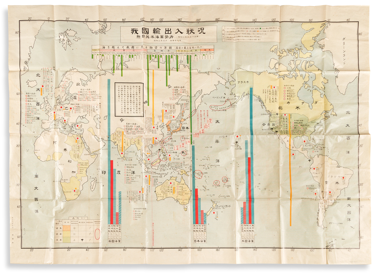
(JAPAN -- WORLD WAR II.) Japanese Ministry of the Navy. Wagakuni Yushu Tsunyu Jokyo. Enormous offset color-printed data visualization map of the world on 4 sheets joined. 58 1/2x81 inches overall; folded, generally excellent with only minor scattered foxing. Japan, Showa 3 (1928)

Additional Details

Oversized chart referencing trade goods, raw materials, and other economic resources around the world, but with particular concentration on the naval strengths of Great Britain (vertical bar graph at left), Japan (center), and the United States (right); a focused intelligence chart by the Japanese Naval Department demonstrating the Empire's vulnerability as compared to other world powers. The Washington Naval Treaty of 1922 limited the Allied nations of World War I from naval construction in the hopes of avoiding an international arms race; The London Naval Treaty of 1930 (two years after this map was published) sought to further increase regulations. Within several years Japan had officially renounced these sanctions with an eye towards major naval expansion, a clear concern and goal illustrated by this map, and an obvious indication that conflict was brewing.