Dec 08, 2022 - Sale 2624

Sale 2624 - Lot 72

Unsold
Estimate: $ 2,000 - $ 3,000
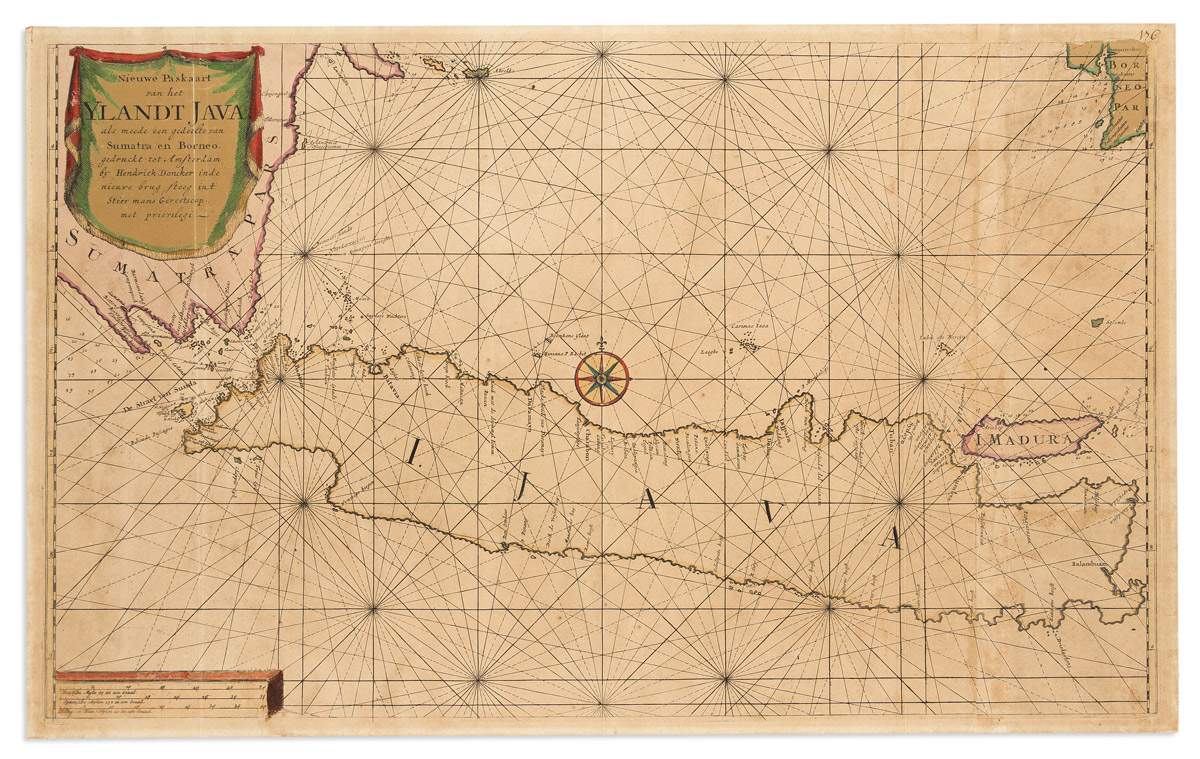
(JAVA.) Hendrick Doncker II. Nieuwe Paskaart van het Ylandt Java als Meede een Gedeelte van Sumatra en Borneo. Large engraved sea chart of the Indonesian island of Java. Two sheets joined, 17 3/4x28 3/4 inches overall, ample margins; original hand-coloring; mounted to heavy board and toned, wants professional conservation. Amsterdam, 1705

Additional Details

Fine chart of Java and the Sunda Strait from Hendrick Doncker Jr.'s uncommonly scarce issue of De Nieuwe Groote Vermeerderde Zee-Atlas ofte Water-Werelt, seemingly known in a single complete copy.

"After the death of Hendrik Doncker in 1699, his son continued the publication and even enlarged and improved the sea-atlas with, i.e., a number of charts with increasing latitude. In fact, the most important edition of the Nieuwe Groote Vermeerderde Zeeatlas was published by Hendrik, Jr"…"This is the most advanced sea-atlas ever published by Hendrick Doncker and his son". Koeman IV pages 154-155; Don 29 (map 63).