May 29 at 12:00 PM - Sale 2706 -

Sale 2706 - Lot 127

Estimate: $ 800 - $ 1,200
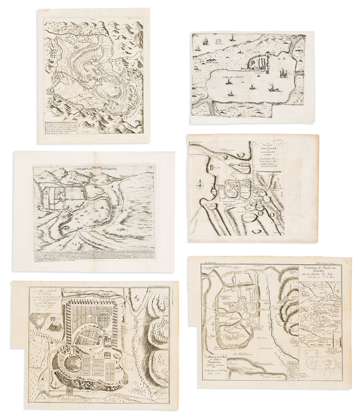
(JERUSALEM.) Group of 6 small-scale sixteenth-to-eighteenth-century maps and plans. Vp, vd

Additional Details

- Giulio Ballino. [Lago di Tiberia]. Double-page engraved map of the Sea of Galilee with the cities of Tiberias, Damascus, and Jerusalem but also showing Cyprus in the Mediterranean Sea. 8½x11½ inches sheet size, left margin narrow, blank verso; small repairs. Bologna, 1569. Laor 87.

- Bernardino Amico. Discretione Vera de Lantica Cita di Gierusalem. Double-page engraved plan of ancient Jerusalem from the time of Christ. 11¼x15 inches sheet size, wide margins, Italian text on verso; minor imperfections at center fold but generally very good. Florence, 1620. Laor 941.

- John Goddard, engraver; after Benedictus Arias Montanus. Antiquae Ierusalem Vera Icnographiae ad Sacrae Lectionis. Attractive engraved plan. 12½x10½ inches sheet size, wide margins; small stain and closed edge tears. Antwerp, 1572 [but after]. Laor 945.

- Richard Pococke. Ein Grundriss von Ierusalem und dem Daran Stossenden Lande. Engraved folding plan of Jerusalem and surroundings. 10x12 inches sheet size; offset and foxing. Erlangen, 1754. Laor 1103.

- Willem Albert Bachiene. Vorstellung und Plan des Heutigen Jerusalem Verglichen mit dem Alten. Folding sheet with two engraved plans. 12x15 inches overall, wide margins, trimmed at left edge for binding; minor wear. Cleve, 1771. Laor 949.

- Willem Albert Bachiene. Charte der Vorstellung der Stadt Jerusalem. Engraved folding plan. 11¾x15½ inches overall, wide margins, trimmed at left edge for binding; minor wear. Cleve, 1771.