Sale 2591 - Lot 259
Unsold
Estimate: $ 2,000 - $ 3,000
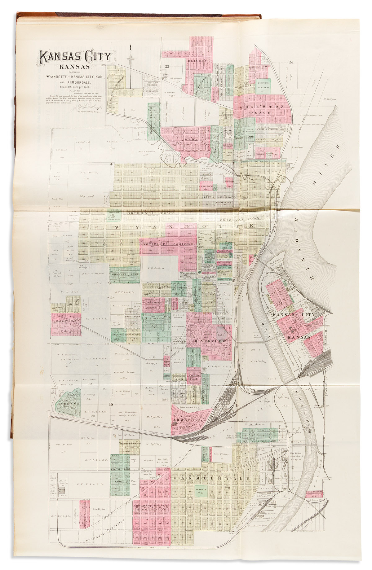
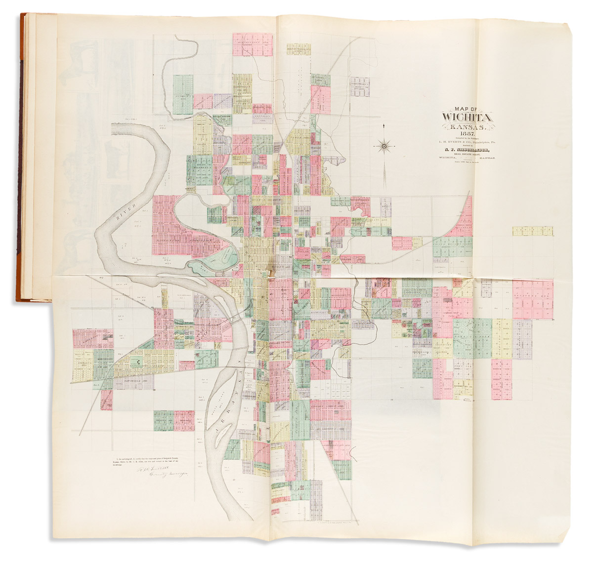
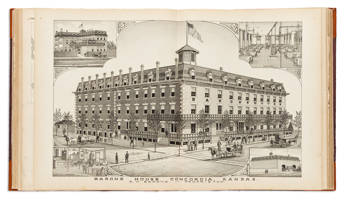
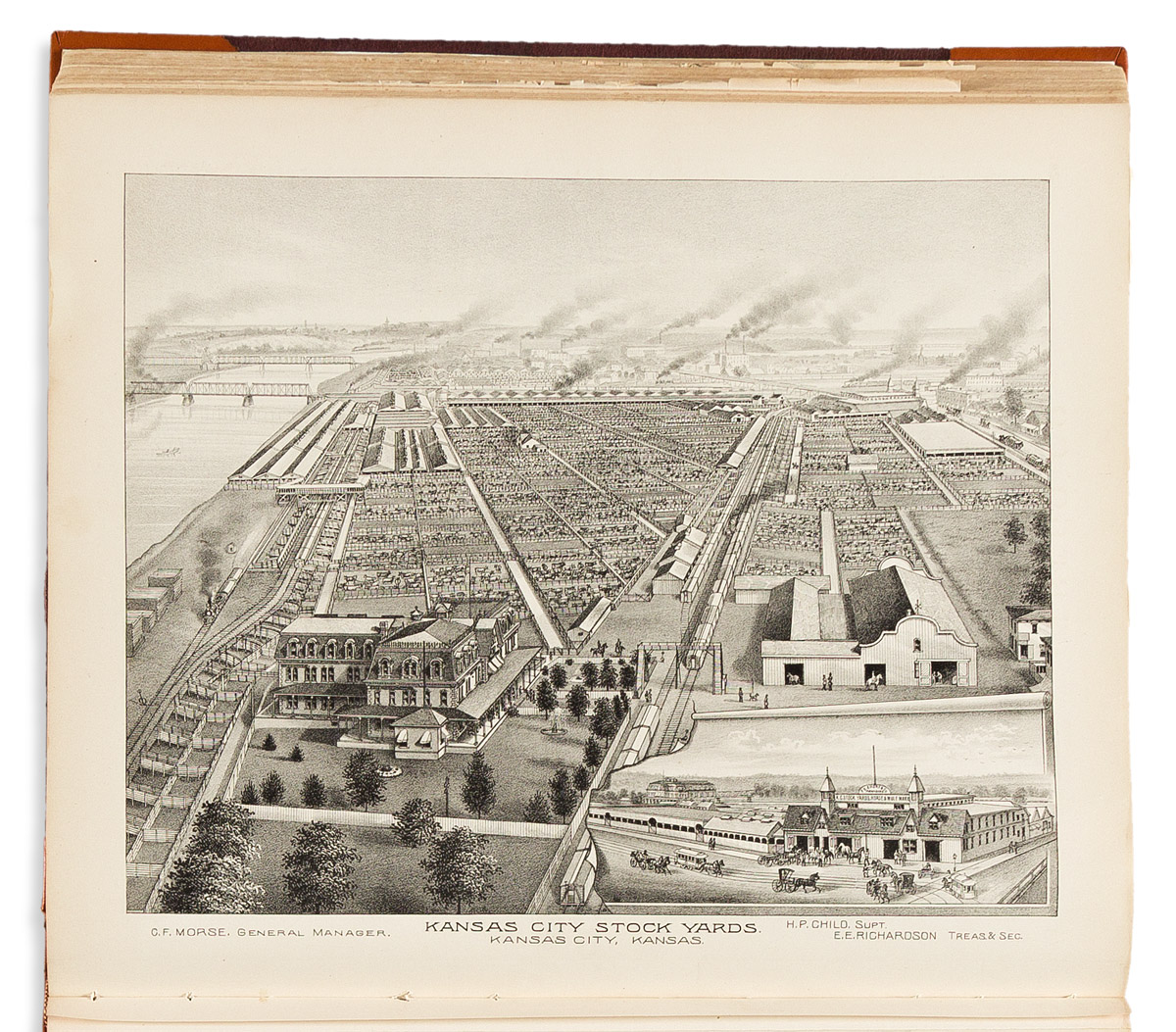
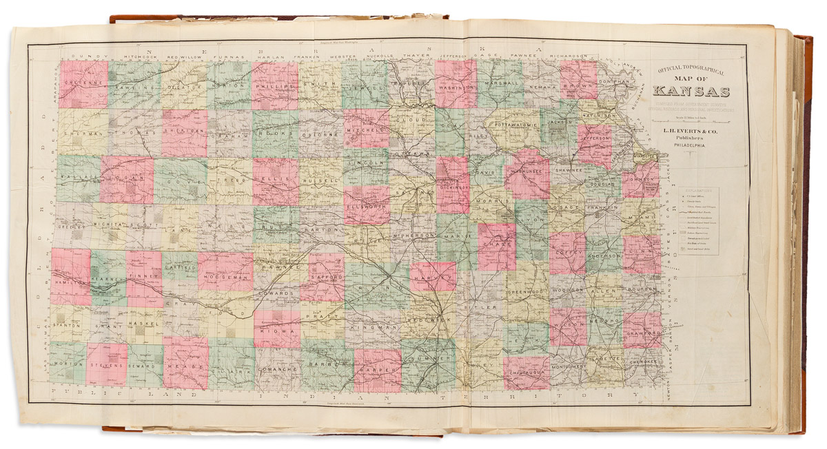
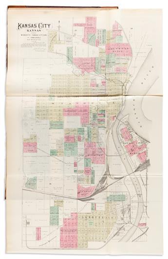
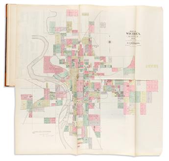
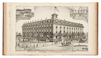
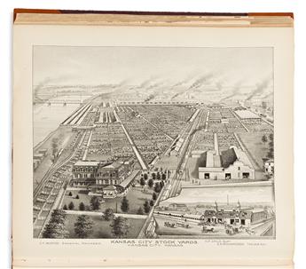
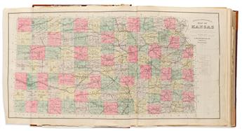
(KANSAS.) Louis H. Everts. The Official State Atlas of Kansas. Profusion of hand-colored lithographed maps and lithographed plates of prominent local estates, businesses, universities, public works, and livestock yards (numbered to 340, but many more), and 24 (of 25) hand-colored lithographed folding maps tipped in. Folio, 18x15 inches, publisher's gilt-blocked cloth boards, rebacked and recornered in leatherette, new endpapers; preliminary leaves with tears and repairs, some folding maps showing irregular creasing, separations, and tears, others fine, map 31/32 and facing plate with jagged tears at center. Philadelphia, 1887
Exhibition Hours
Exhibition Hours
Aliquam vulputate ornare congue. Vestibulum maximus, libero in placerat faucibus, risus nisl molestie massa, ut maximus metus lectus vel lorem.


