Nov 25, 2014 - Sale 2368

Sale 2368 - Lot 144

Price Realized: $ 2,750
?Final Price Realized includes Buyer’s Premium added to Hammer Price
Estimate: $ 2,000 - $ 3,000
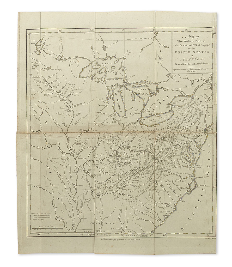
(KENTUCKY.) Imlay, Gilbert. A Topographical Description of the Western Territory of North America. 4 folding maps. [12], 598, [28] pages. 8vo, early tree calf, minor wear, morocco spine label; preliminary leaves bound out of order, tasteful repaired closed tears to two maps, minor worming; early gift inscription on front pastedown. With undated ad leaf in preliminaries. London, 1797

Additional Details

Third and best edition, with the addition of a chapter on Louisiana and West Florida by Hutchins. "In its final 1797 form, embodying many original narratives and the entire works of Filson and Hutchins, this work gave the most complete information on the trans-Alleghany region available at the end of the 18th century"--Howes I-12 ("b"). Incorporates John Filson's work on Kentucky and his "Adventures of Col. Daniel Boon," as well as large maps of Kentucky and Tennessee, and a chapter on Indians. Clark II:41-5; Field 747; Graff 2091; Sabin 34358.