Sale 2624 - Lot 76
Price Realized: $ 1,000
Price Realized: $ 1,250
?Final Price Realized includes Buyer’s Premium added to Hammer Price
Estimate: $ 1,000 - $ 1,500
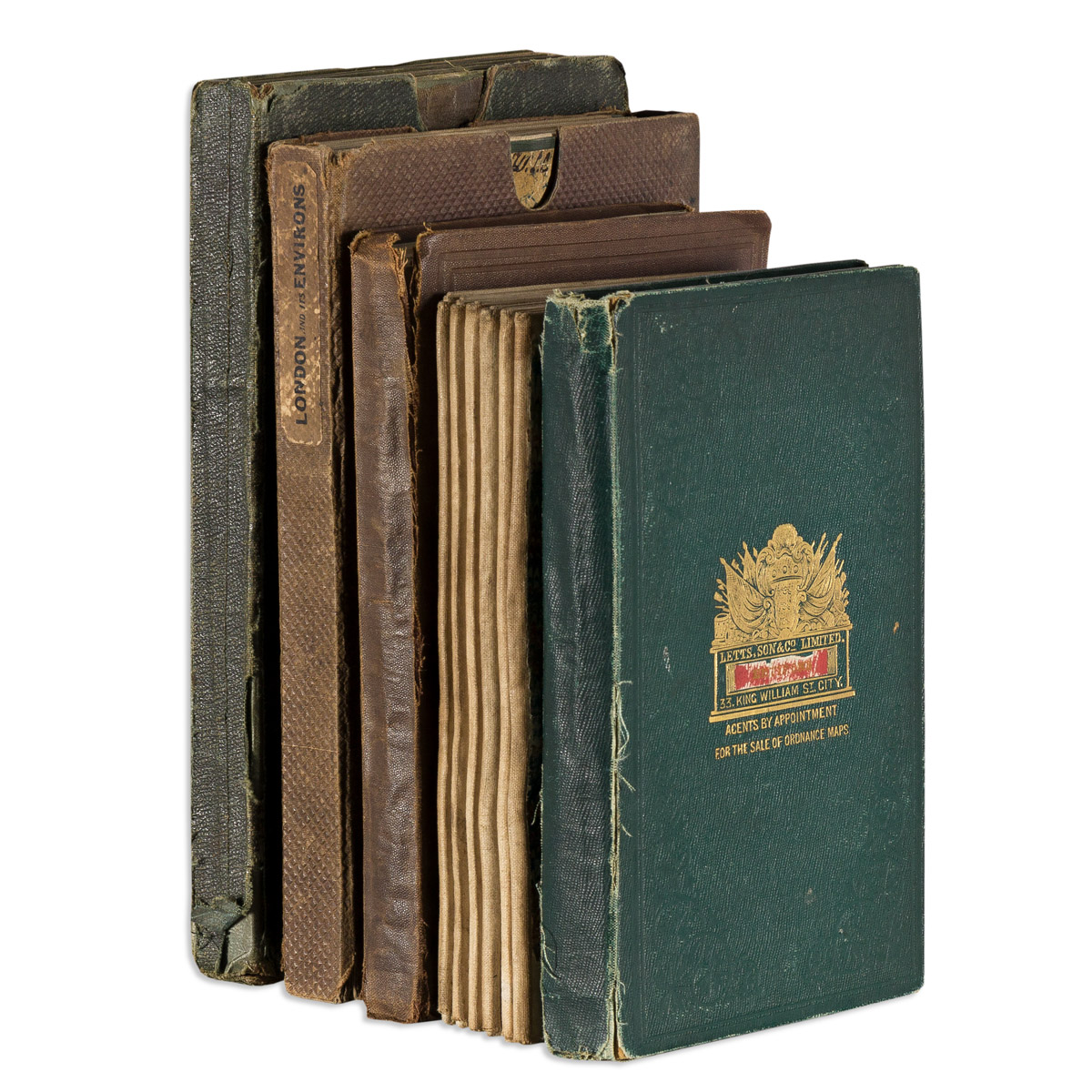
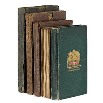
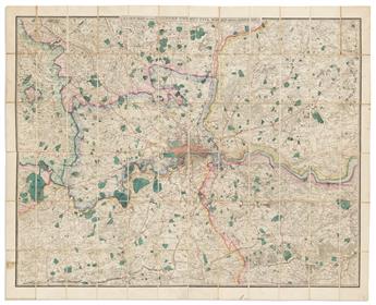
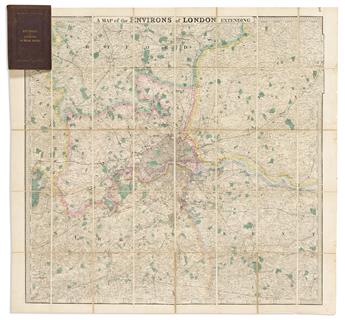
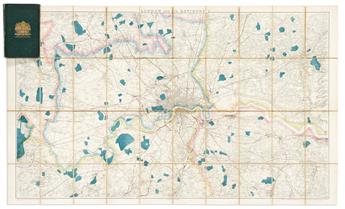
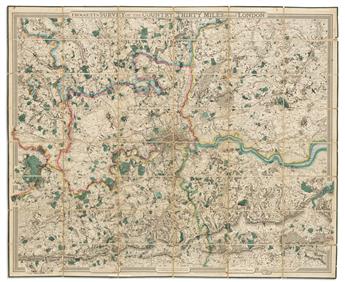
(LONDON.) Group of 5 large nineteenth-century folding maps. London, vd
Additional Details
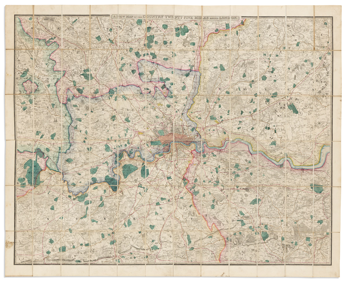
- James Wyld. A New Map of the Country Twenty-Five Miles Round London. Engraving with original hand-color. 43 1/2x53 1/2 inches overall, wide margins, segmented and mounted to original linen back with marbled paper self-wrappers; bit of edge soiling but generally fine. London, circa 1870.
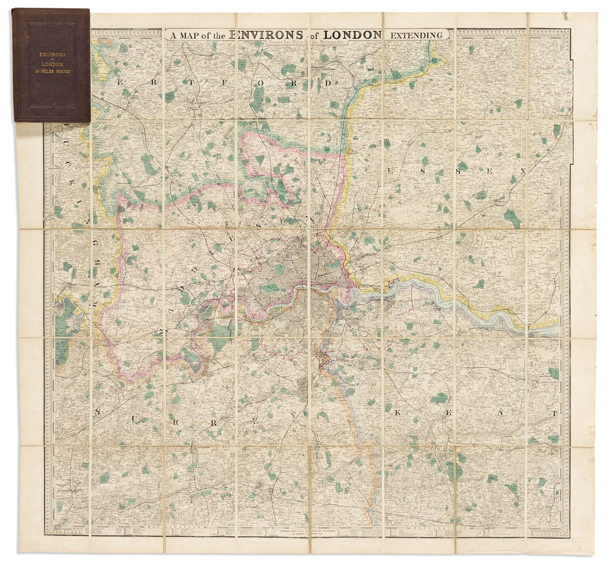
- Edward Stanford. A Map of the Environs of London Extending Twenty Five Miles from the Metropolis. Engraving with original hand-color. 37 1/2x39 3/4 inches overall, wide margins, segmented and mounted to original linen back and folding into publisher's cloth case; minor wear but no serious flaws. London, circa 1880.
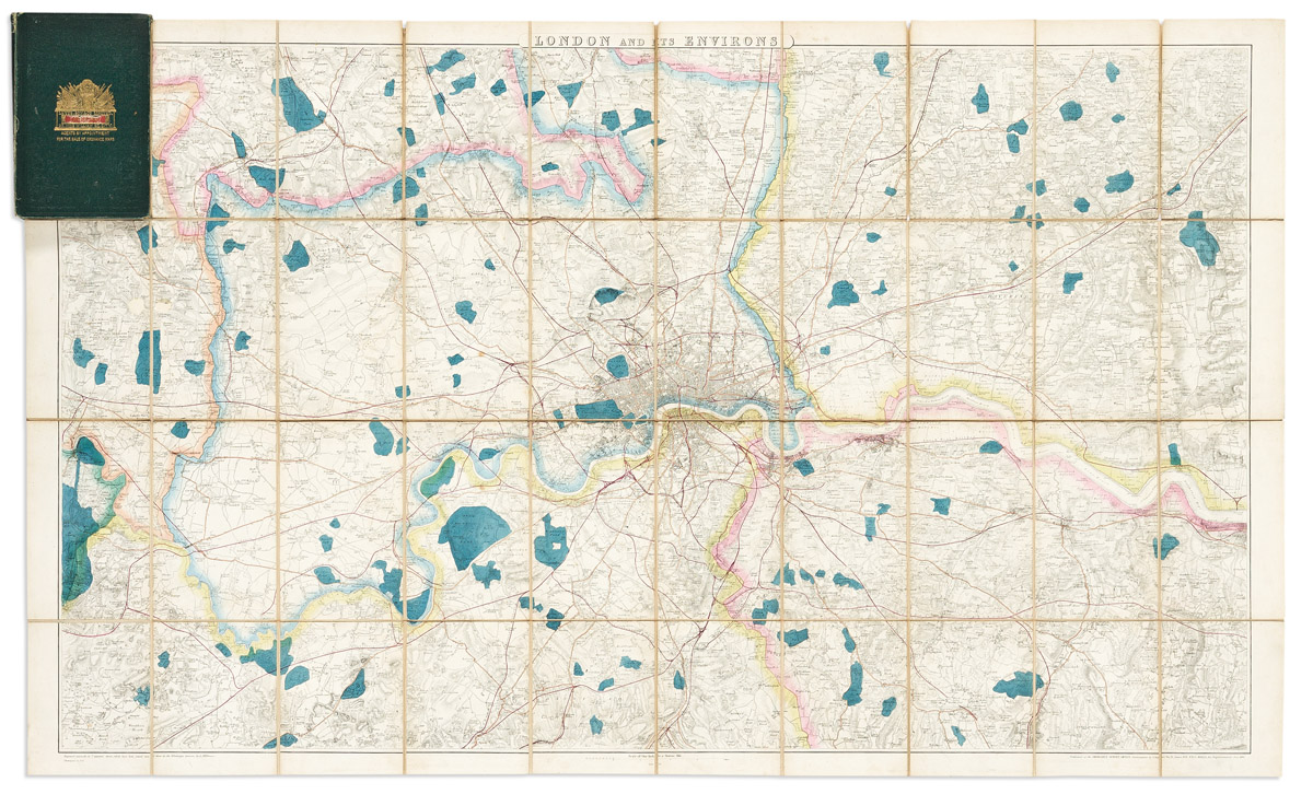
- Ordnance Survey. London and Its Environs. Electrotyped engraving with original hand-color. 27 3/4x46 inches overall, segmented and mounted to original linen back and folding into contemporary Lett's, Son & Co. gilt-blocked green cloth case; bright with only minor wear. London, 1861 [but circa 1875].
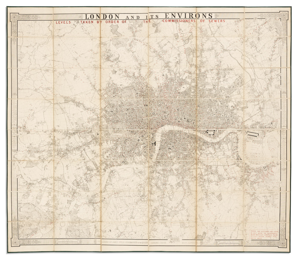
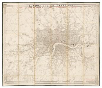
- James Wyld. London and Its Environs. Levels Taken by Order of the Commissioners of Sewers. Engraving overprinted in red. 44x51 inches overall, segmented and mounted to original linen back with marbled paper self-wrappers, folding into publisher's cloth slipcase with printed paper label; minor wear. London, circa 1850.
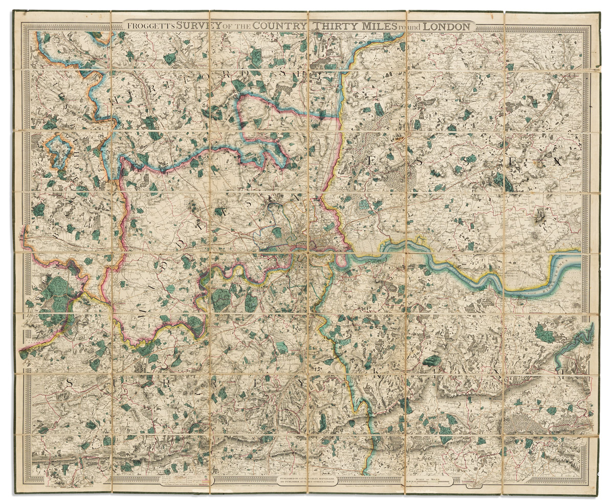
- J.W. Froggett; and G.F. Cruchley. Froggett's Survey of the Country Thirty Miles Round London. Engraving with original hand-color. 45x54 inches overall, segmented and mounted to original linen back with green selvage and self-wrappers, folding into publisher's cloth slipcase with printed paper label; moderate wear. London, 1850s.
Exhibition Hours
Exhibition Hours
Aliquam vulputate ornare congue. Vestibulum maximus, libero in placerat faucibus, risus nisl molestie massa, ut maximus metus lectus vel lorem.


