?Final Price Realized includes Buyer’s Premium added to Hammer Price
Estimate: $ 250 - $ 350
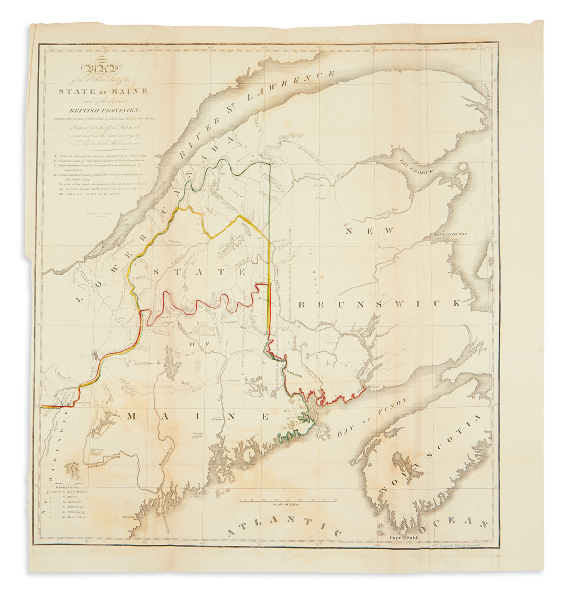
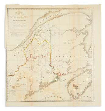
(MAINE.) Dashiell, S.L. Map of the Northern Part of the State of Maine and of the Adjacent British Provinces. Engraved folding map. 18 1/2x17 inches sheet size; outline hand-color; offsetting and light toning. Washington, D.C., circa 1830
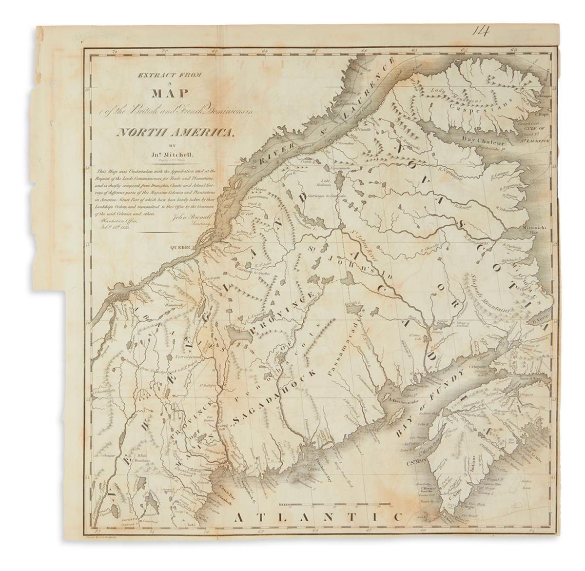
with: S.L. Dashiell,Extract from a Map of the British and French Dominions in North America. Engraved folding map, 14 1/2x14 1/2 inches sheet size, New York, 1838. Together, two maps detailing the nineteenth-century boundary dispute between Maine and Canada which was eventually settled by the Webster-Ashburton Treaty in 1842.