Jun 23, 2022 - Sale 2610

Sale 2610 - Lot 105

Price Realized: $ 1,000
?Final Price Realized includes Buyer’s Premium added to Hammer Price
Estimate: $ 1,200 - $ 1,800
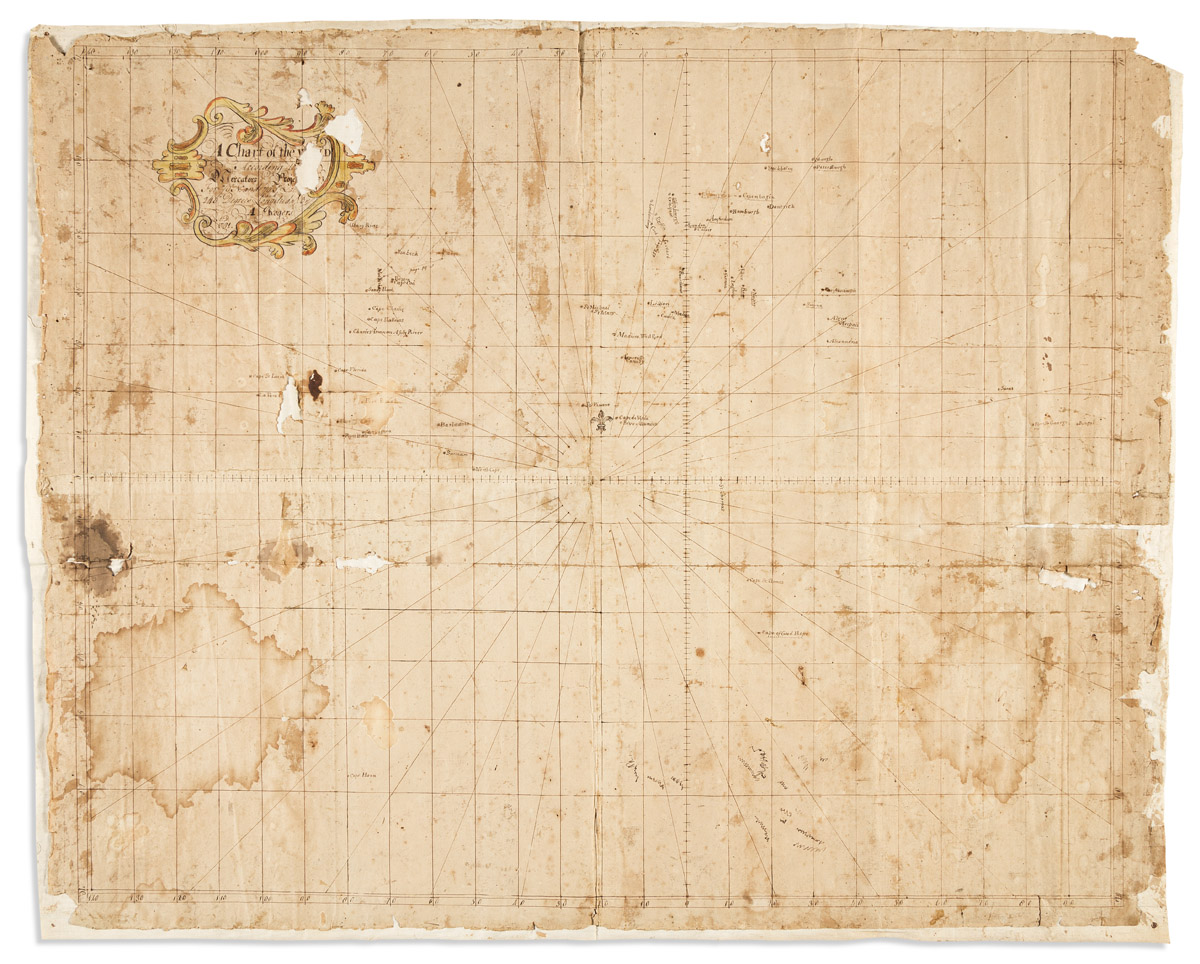
(MANUSCRIPT MAP.) A. Rogers. A Chart of the World According to Mercator's Projections. Ink and watercolor on four joined sheets of "Potts & Reynolds" watermarked laid paper. 25x31 1/2 inches overall; staining and small losses, mounted to later linen. Np, circa 1790

Additional Details

A curious and unusual eighteenth-century "chart" of the world centered on the mid-Atlantic. This appears to be an unfinished work in progress with the latitude and longitude lines drawn throughout, numerous cities and ports laid down, but with no landmasses delineated whatsoever: only the vaguest sense of the American coast, Europe, Africa and a small bit of Asia can be discerned from the placement of the toponyms. A triangulation at the east coast of North America bears the notation "page 29-38", suggesting the maker was consulting a navigator's guide, but no source text has been identified. The chart is almost certainly of American design, evidenced by the paper on which the map is drawn. Established circa 1788, the Stacy Potts & John Reynolds paper mill in Trenton, New Jersey was one of the earliest producers of hand-made paper in America.